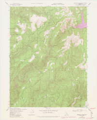
1948 Map of American House
USGS Topo · Published 1978About this map
Plumas National Forest dominates this landscape where the Middle Fork Feather River and South Fork Feather River carve through high country. Mapping from 1948, later updated in the 1970s, captures a transitional period of resource management and local settlement. The terrain is marked by prominent family-named outposts such as Boehme Ranch and McIntosh Ranch, reflecting the enduring footprint of early homesteading in the Sierra Nevada.
Find a feature on this map
38 named features on this map. Tap any name to fly to it.
Don’t see what you’re looking for? This feature index may not catch every label — zoom into the map to look around manually.
Map Details
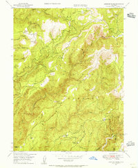
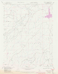
Editions of this 1948 American House Map
3 editions found
Other maps of this area

1888 · Bidwell Bar
USGS Topo · 1:125,000

1891 · Bidwell Bar
USGS Topo · 1:125,000

1891 · Downieville
USGS Topo · 1:125,000

1893 · Bidwell Bar
USGS Topo · 1:125,000

1893 · Downieville
USGS Topo · 1:125,000

1895 · Bidwell Bar
USGS Topo · 1:125,000

1895 · Downieville
USGS Topo · 1:125,000

1896 · Downieville
USGS Topo · 1:125,000

1897 · Bidwell Bar
USGS Topo · 1:125,000

1897 · Downieville
USGS Topo · 1:125,000