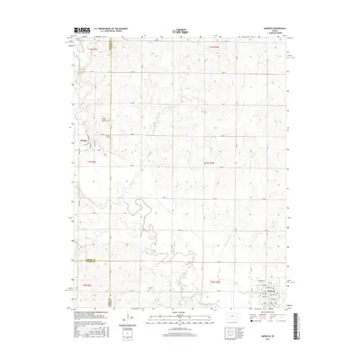
2015 Map of Americus
USGS Topo · Published 2015About this map
Dunlap African American Cem stands as a significant cultural landmark in this 2015 record of the Kansas prairie, located just northeast of the settlement of Dunlap. The landscape is defined by the winding course of the Neosho River and its numerous tributaries, including Wrights Cr, Troublesome Cr, and Pester Cr. These waterways cut through the geometric grid of rural roads like RD 270 and RD B, illustrating the persistent tension between the natural drainage of the Flint Hills region and the orderly section lines of the Public Land Survey System. In the southeast, the town of Americus sits near the riverbanks, serving as a local hub. The map also documents the convergence of three counties, where the borders of Morris, Lyon, and Chase meet amidst a terrain of upland ridges and creek bottoms.
Find a feature on this map
66 named features on this map. Tap any name to fly to it.
Don’t see what you’re looking for? This feature index may not catch every label — zoom into the map to look around manually.
Map Details
Editions of this 2015 Americus Map
This is the sole edition of this map. No revisions or reprints were ever made.
Other maps of this area

1885 · Eskridge
USGS Topo · 1:125,000

1888 · Emporia
USGS Topo · 1:125,000

1889 · Eskridge
USGS Topo · 1:125,000

1894 · Emporia
USGS Topo · 1:125,000

1894 · Eskridge
USGS Topo · 1:125,000

1955 · Hutchinson
USGS Topo · 1:250,000

1957 · Emporia
USGS Topo · 1:24,000

1957 · Saffordville
USGS Topo · 1:24,000

1957 · Plymouth
USGS Topo · 1:24,000

1959 · Hutchinson
USGS Topo · 1:250,000