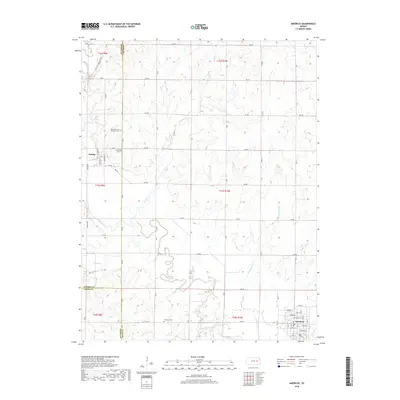
2018 Map of Americus
USGS Topo · Published 2018About this map
The Neosho River meanders across this rural Kansas landscape, where the borders of Lyon, Morris, and Chase counties meet. The settlement of Dunlap serves as a focal point for local history, notably featuring the Dunlap African American Cem and the Dunlap Cem. These sites, along with Fruitland Cem to the south, provide valuable touchpoints for genealogical research in this agricultural region.
Find a feature on this map
44 named features on this map. Tap any name to fly to it.
Don’t see what you’re looking for? This feature index may not catch every label — zoom into the map to look around manually.
Map Details
Editions of this 2018 Americus Map
This is the sole edition of this map. No revisions or reprints were ever made.
Other maps of this area

1885 · Eskridge
USGS Topo · 1:125,000

1888 · Emporia
USGS Topo · 1:125,000

1889 · Eskridge
USGS Topo · 1:125,000

1894 · Emporia
USGS Topo · 1:125,000

1894 · Eskridge
USGS Topo · 1:125,000

1955 · Hutchinson
USGS Topo · 1:250,000

1957 · Emporia
USGS Topo · 1:24,000

1957 · Saffordville
USGS Topo · 1:24,000

1957 · Plymouth
USGS Topo · 1:24,000

1959 · Hutchinson
USGS Topo · 1:250,000