
1912 Map of Ames
USGS Topo · Published 1956About this map
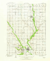
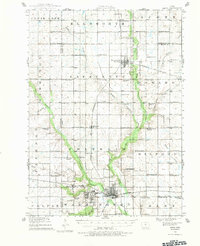
Iowa State College serves as the southern anchor for this central Iowa landscape, surveyed in the early 20th century. The settlement of Ames is shown in its younger form, clustered south of the Chicago and Northwestern rail lines. To the north, the Skunk River and its various tributaries, including Keigley Branch and Squaw Creek, dictate the movement of the terrain and the placement of rural infrastructure.
Find a feature on this map
74 named features on this map. Tap any name to fly to it.
Don’t see what you’re looking for? This feature index may not catch every label — zoom into the map to look around manually.
Map Details
Editions of this 1912 Ames Map
Other maps of this area

1911 · Madrid
USGS Topo · 1:62,500

1911 · Slater
USGS Topo · 1:62,500

1913 · Slater
USGS Topo · 1:62,500

1914 · Madrid
USGS Topo · 1:62,500

1914 · Ames
USGS Topo · 1:62,500

1916 · Boone
USGS Topo · 1:62,500

1954 · Waterloo
USGS Topo · 1:250,000

1954 · Des Moines
USGS Topo · 1:250,000

1955 · Waterloo
USGS Topo · 1:250,000

1956 · Des Moines
USGS Topo · 1:250,000