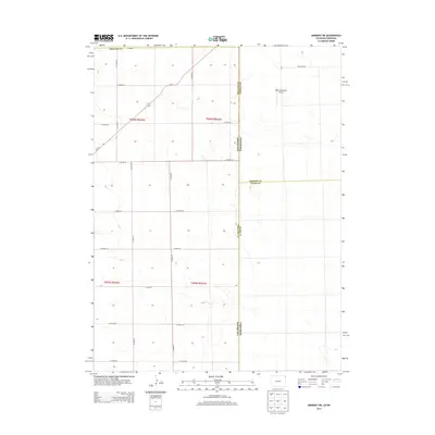
2013 Map of Amherst NE
USGS Topo · Published 2013About this map
The high plains along the Colorado-Nebraska state line are defined by a rigorous grid of section lines and gravel roads that slice through the expansive agricultural landscape. This 2013 survey reveals the intersection of several counties, including Phillips and Perkins, where the terrain is predominantly used for dryland farming and ranching. The most significant points of interest are found in the northeastern corner, where the Vanango Cem and Dodson Brothers Airport stand as small outposts of human activity amidst the fields.
Find a feature on this map
24 named features on this map. Tap any name to fly to it.
Don’t see what you’re looking for? This feature index may not catch every label — zoom into the map to look around manually.
Map Details
Editions of this 2013 Amherst NE Map
This is the sole edition of this map. No revisions or reprints were ever made.
Other maps of this area

1954 · Sterling
USGS Topo · 1:250,000

1954 · McCook
USGS Topo · 1:250,000

1957 · McCook
USGS Topo · 1:250,000

1958 · McCook
USGS Topo · 1:250,000

1958 · Sterling
USGS Topo · 1:250,000

1961 · Lamar
USGS Topo · 1:24,000

1961 · Lamar NW
USGS Topo · 1:24,000

1961 · Brandon
USGS Topo · 1:24,000

1962 · Venango SW
USGS Topo · 1:24,000

1962 · Amherst
USGS Topo · 1:24,000