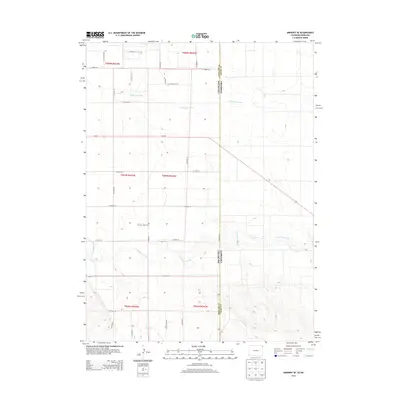
2013 Map of Amherst SE
USGS Topo · Published 2013About this map
The Colorado Nebraska border forms a sharp vertical divide across this high plains landscape, separating Phillips County and Chase County. The terrain is defined by the winding paths of Frenchman Creek in the south and Wildhorse Creek further north, which cut through the undulating contours of the plains. A strictly organized grid of rural routes, including Co Road 65 and Co Road 16, provides access to the agricultural parcels that dominate the region. Near the center of the sheet, the Pleasant Valley Cem stands as a quiet landmark of local heritage, situated along Co Road 61. Modern transportation is anchored by the dual lanes of Us-6 E and Us-6 W, which bisect the northern half of the quadrangle. This 2013 survey illustrates a region where land management is dictated by both natural drainage systems and the rigid boundaries of state and county jurisdictions.
Find a feature on this map
29 named features on this map. Tap any name to fly to it.
Don’t see what you’re looking for? This feature index may not catch every label — zoom into the map to look around manually.
Map Details
Editions of this 2013 Amherst SE Map
This is the sole edition of this map. No revisions or reprints were ever made.
Other maps of this area

1954 · Sterling
USGS Topo · 1:250,000

1954 · McCook
USGS Topo · 1:250,000

1957 · McCook
USGS Topo · 1:250,000

1958 · McCook
USGS Topo · 1:250,000

1958 · Sterling
USGS Topo · 1:250,000

1961 · Lamar
USGS Topo · 1:24,000

1961 · Lamar NW
USGS Topo · 1:24,000

1962 · Amherst
USGS Topo · 1:24,000

1962 · Amherst NE
USGS Topo · 1:24,000

1971 · Amherst SW
USGS Topo · 1:24,000