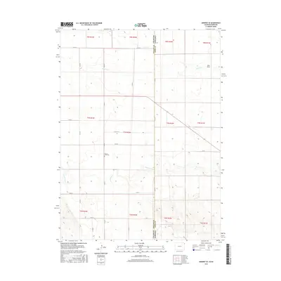
2016 Map of Amherst SE
USGS Topo · Published 2016About this map
The high plains of the Colorado-Nebraska border define this landscape, where the agricultural grid of Chase County meets the state line at Phillips and Chase counties. The drainage of Frenchman Cr and Wildhorse Cr carves subtle relief into the terrain, which is otherwise dominated by a systematic network of section roads like Co RD 26 and 740 RD. A singular point of local genealogical interest is the Pleasant Valley Cem, situated along Co RD 61. This area, characterized by its wide-open ranching and farming tracts, includes the distinctive Sand Draw in the northeastern reaches, illustrating the arid watercourses typical of the Nebraska panhandle region. The map preserves the exact township and range divisions, such as t7n r42w, which have dictated land ownership and settlement patterns since the early homesteading era.
Find a feature on this map
27 named features on this map. Tap any name to fly to it.
Don’t see what you’re looking for? This feature index may not catch every label — zoom into the map to look around manually.
Map Details
Editions of this 2016 Amherst SE Map
This is the sole edition of this map. No revisions or reprints were ever made.
Other maps of this area

1954 · Sterling
USGS Topo · 1:250,000

1954 · McCook
USGS Topo · 1:250,000

1957 · McCook
USGS Topo · 1:250,000

1958 · McCook
USGS Topo · 1:250,000

1958 · Sterling
USGS Topo · 1:250,000

1961 · Lamar
USGS Topo · 1:24,000

1961 · Lamar NW
USGS Topo · 1:24,000

1962 · Amherst
USGS Topo · 1:24,000

1962 · Amherst NE
USGS Topo · 1:24,000

1971 · Amherst SW
USGS Topo · 1:24,000