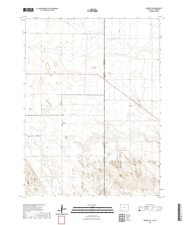
2022 Map of Amherst SE
USGS Topo · Published 2022About this map
The High Plains landscape at the junction of the Colorado Nebraska state line is defined by a series of intermittent watercourses and a strict gridded road system. This rural expanse, primarily situated within Phillips County, Colorado, and Chase County, Nebraska, centers on the hydrological drainage of Frenchman Cr and Wildhorse Cr. The land is segmented by sectional boundaries and a network of county routes, including Co Rd 26 and Co Rd 14, which facilitate travel through this agricultural territory. A significant landmark for local history and genealogy is the Pleasant Valley Cem, located near the intersection of Co RD 61 and Co RD 18. This survey provides a precise look at the 2022 topography of the region, showing how contemporary infrastructure like 740 Rd interacts with natural features such as Sand Draw.
Find a feature on this map
27 named features on this map. Tap any name to fly to it.
Don’t see what you’re looking for? This feature index may not catch every label — zoom into the map to look around manually.
Map Details
Editions of this 2022 Amherst SE Map
This is the sole edition of this map. No revisions or reprints were ever made.
Other maps of this area

1954 · Sterling
USGS Topo · 1:250,000

1954 · McCook
USGS Topo · 1:250,000

1957 · McCook
USGS Topo · 1:250,000

1958 · McCook
USGS Topo · 1:250,000

1958 · Sterling
USGS Topo · 1:250,000

1961 · Lamar
USGS Topo · 1:24,000

1961 · Lamar NW
USGS Topo · 1:24,000

1962 · Amherst
USGS Topo · 1:24,000

1962 · Amherst NE
USGS Topo · 1:24,000

1971 · Amherst SW
USGS Topo · 1:24,000