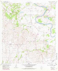
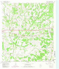
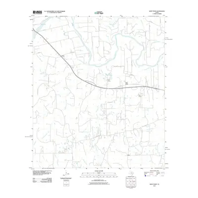
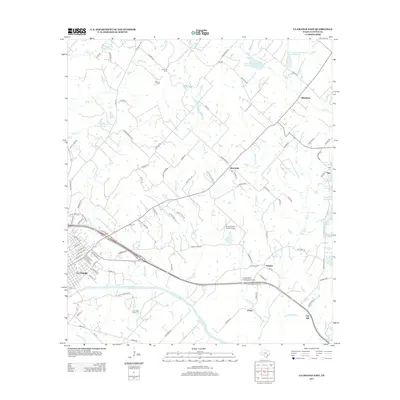
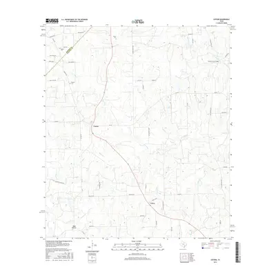
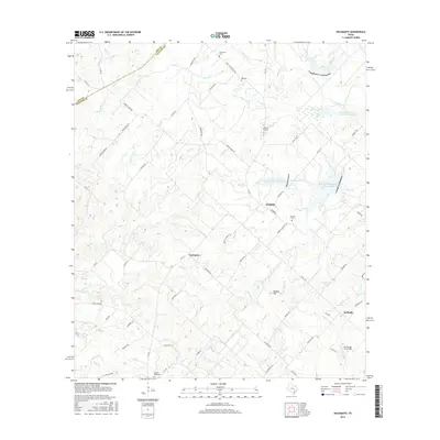
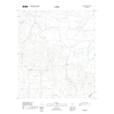
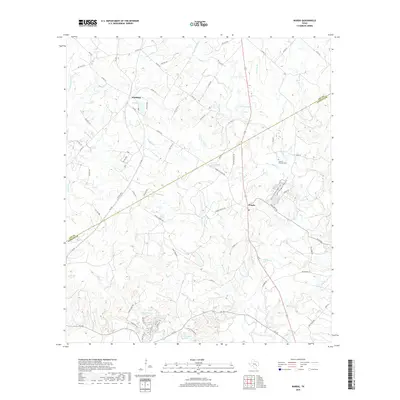
1957 Map of Ammannsville
USGS Topo · Published 1982About this map
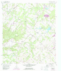
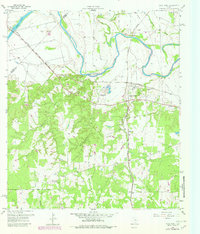
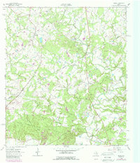
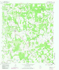
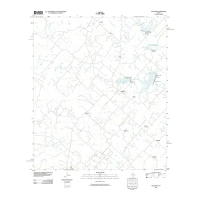
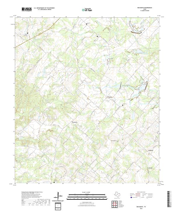
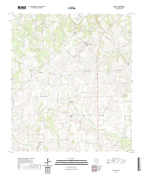
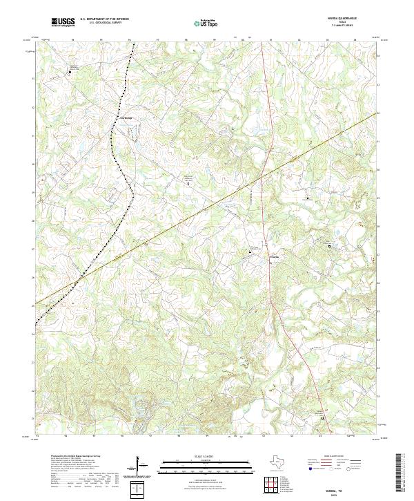
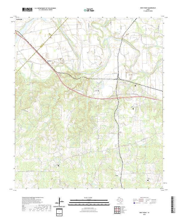
The Colorado River meanders through the northeast corner of this Fayette County landscape, where the Lower Colorado River Authority monitored the fertile plains and winding creeks. Small rural communities like Ammannsville and Holman serve as anchors for a region defined by its religious and educational centers, including St Wenceslaus Ch and the Hostyn Sch. The land is dissected by numerous waterways such as Williams Creek and Pecan Creek, which historically supported the agricultural life of the area.
Find a feature on this map
34 named features on this map. Tap any name to fly to it.
Don’t see what you’re looking for? This feature index may not catch every label — zoom into the map to look around manually.
Map Details
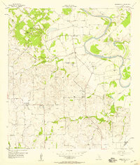
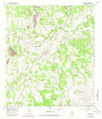
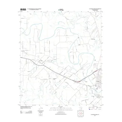
Editions of this 1957 Ammannsville Map
2 editions found
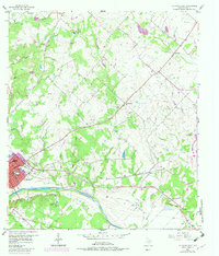
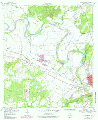
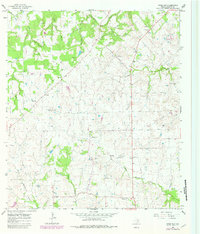
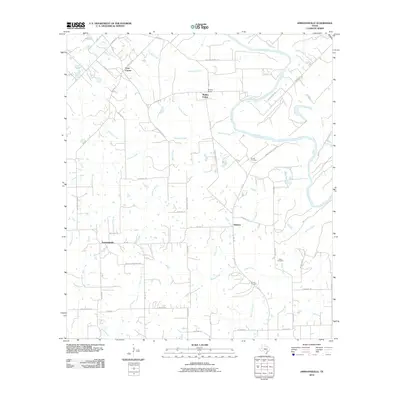
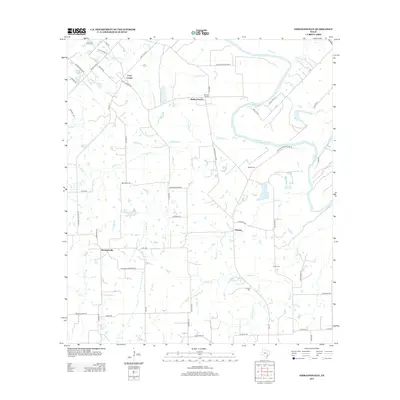
Historical Maps of Ammannsville Through Time
60 maps found
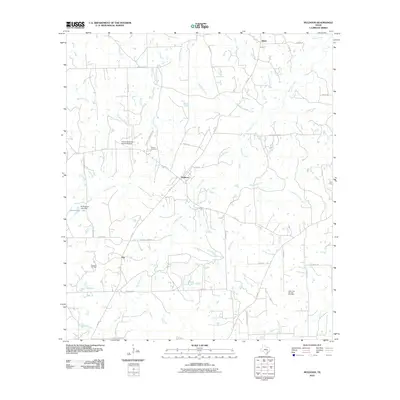
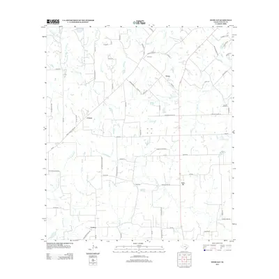
1957 Ammannsville
Fayette County, TX
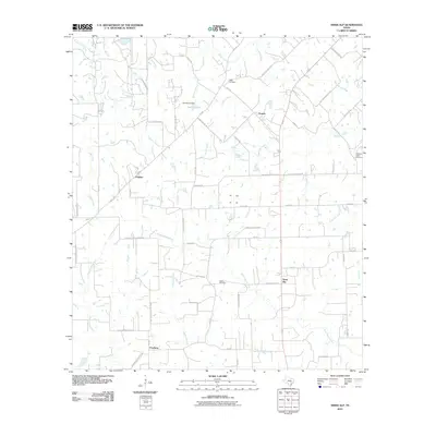
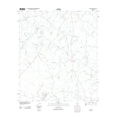
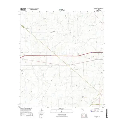
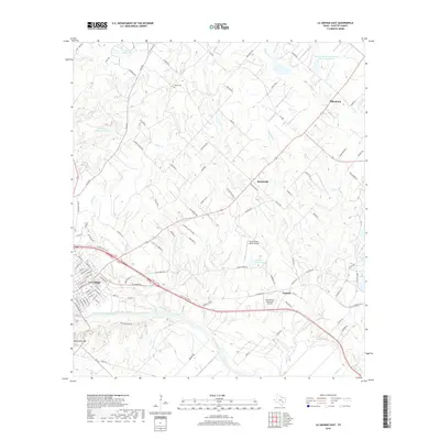
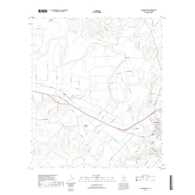
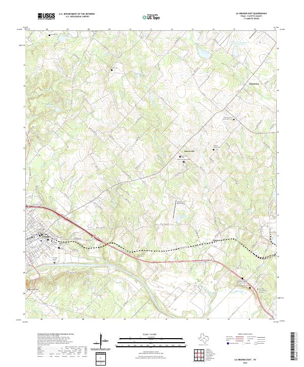
1957 La Grange East
Fayette County, TX
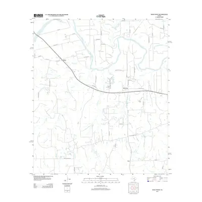
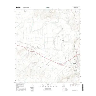
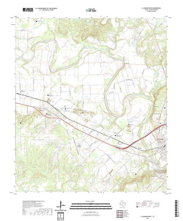
1958 La Grange West
Fayette County, TX
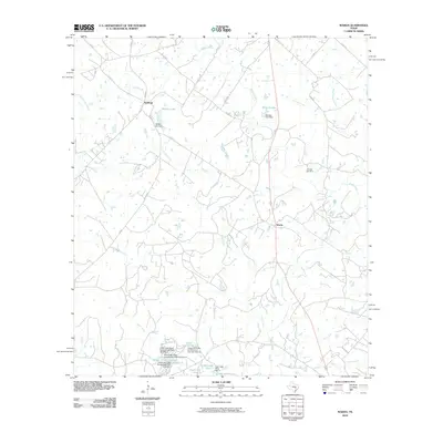
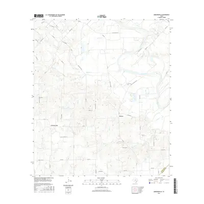
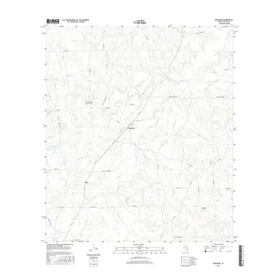
1958 Nechanitz
Fayette County, TX
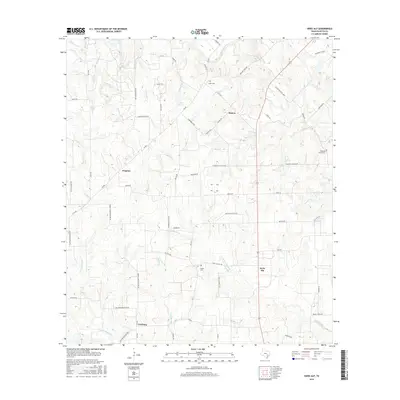
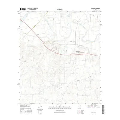
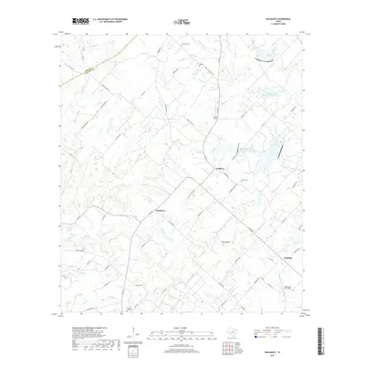
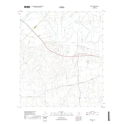
1958 West Point
Fayette County, TX
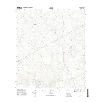
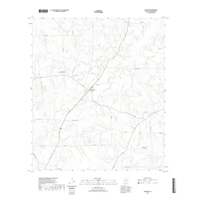
1962 Warda
Fayette County, TX
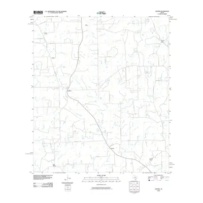
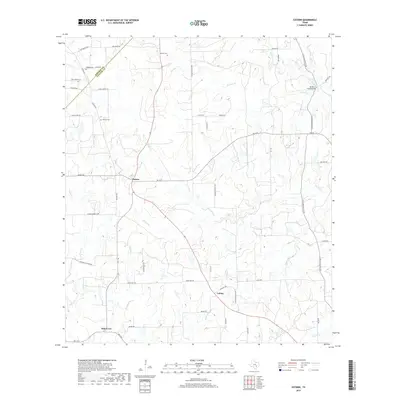
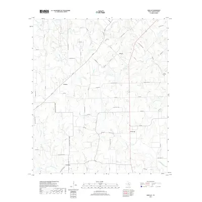
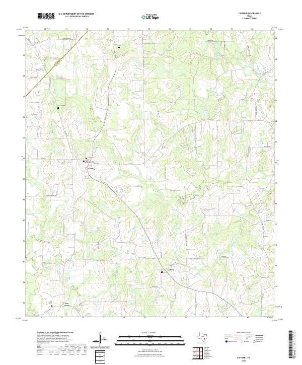
1965 Cistern
Fayette County, TX
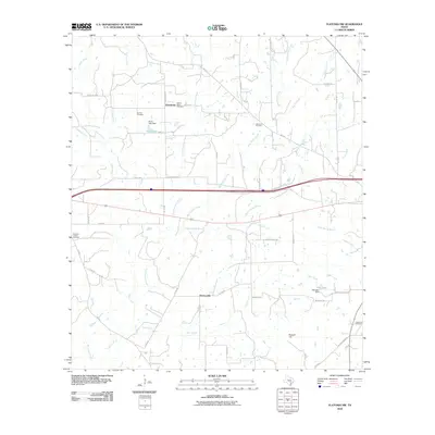
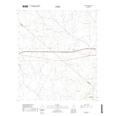
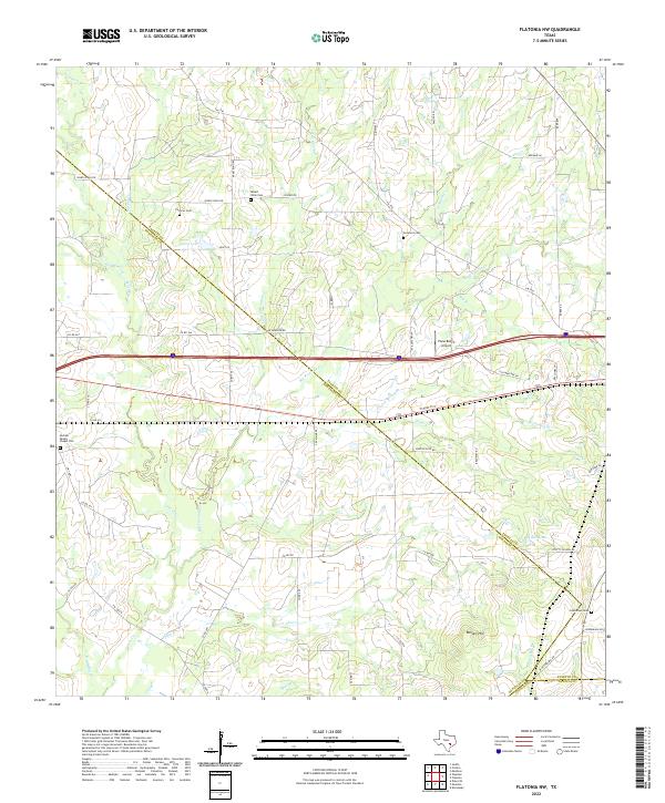
1965 Flatonia NW
Fayette County, TX
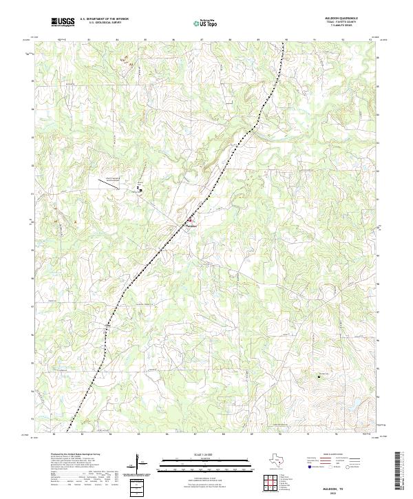
1965 Muldoon
Fayette County, TX
1965 Swiss Alp
Fayette County, TX
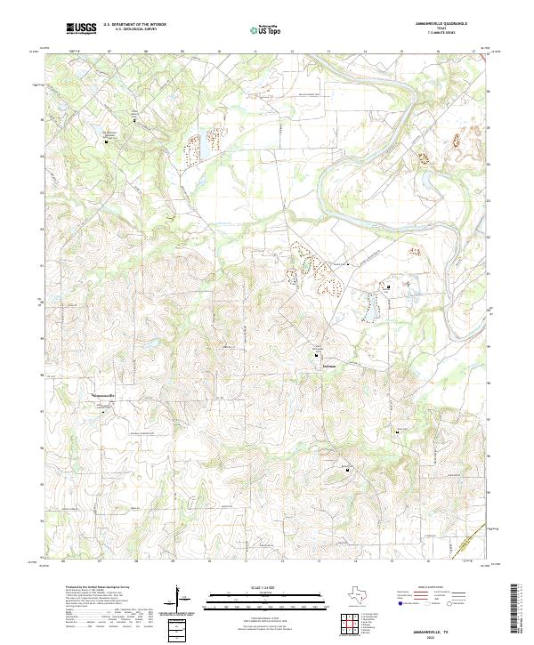
2010 Ammannsville
Fayette County, TX
2010 Cistern
Fayette County, TX
2010 Flatonia NW
Fayette County, TX
2010 La Grange East
Fayette County, TX
2010 La Grange West
Fayette County, TX
2010 Muldoon
Fayette County, TX
2010 Nechanitz
Fayette County, TX
2010 Swiss Alp
Fayette County, TX
2010 Warda
Fayette County, TX
2010 West Point
Fayette County, TX
2013 Ammannsville
Fayette County, TX
2013 Cistern
Fayette County, TX
2013 Flatonia NW
Fayette County, TX
2013 La Grange East
Fayette County, TX
2013 La Grange West
Fayette County, TX
2013 Muldoon
Fayette County, TX
2013 Nechanitz
Fayette County, TX
2013 Swiss Alp
Fayette County, TX
2013 Warda
Fayette County, TX
2013 West Point
Fayette County, TX
2016 Ammannsville
Fayette County, TX
2016 Cistern
Fayette County, TX
2016 Flatonia NW
Fayette County, TX

2016 La Grange East
Fayette County, TX
2016 La Grange West
Fayette County, TX
2016 Muldoon
Fayette County, TX
2016 Nechanitz
Fayette County, TX
2016 Swiss Alp
Fayette County, TX
2016 Warda
Fayette County, TX
2016 West Point
Fayette County, TX
2019 Ammannsville
Fayette County, TX
2019 Cistern
Fayette County, TX
2019 Flatonia NW
Fayette County, TX
2019 La Grange East
Fayette County, TX
2019 La Grange West
Fayette County, TX
2019 Muldoon
Fayette County, TX
2019 Nechanitz
Fayette County, TX
2019 Swiss Alp
Fayette County, TX
2019 Warda
Fayette County, TX
2019 West Point
Fayette County, TX
2022 Ammannsville
Fayette County, TX
2022 Cistern
Fayette County, TX
2022 Flatonia NW
Fayette County, TX
2022 La Grange East
Fayette County, TX
2022 La Grange West
Fayette County, TX
2022 Muldoon
Fayette County, TX
2022 Nechanitz
Fayette County, TX
2022 Swiss Alp
Fayette County, TX
2022 Warda
Fayette County, TX
2022 West Point
Fayette County, TX