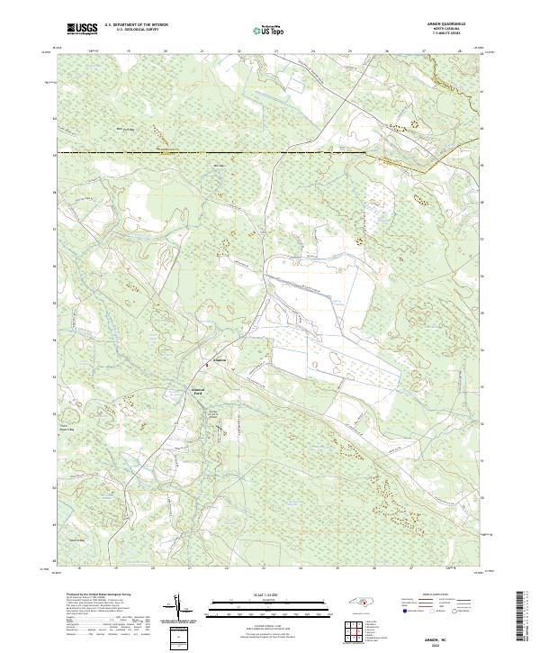
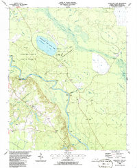
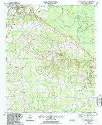
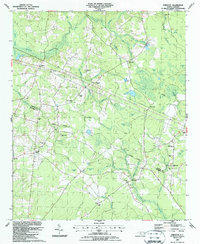
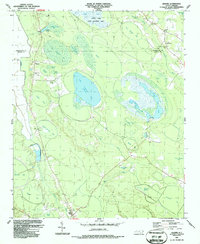
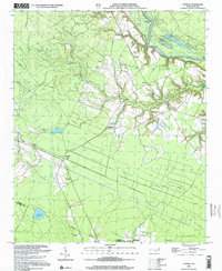
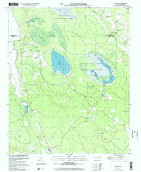
2022 Map of Ammon
USGS Topo · Published 2022About this map
Ammon and Ammon Ford sit within a unique hydrological landscape where the South River defines the boundary between Cumberland and Bladen counties. This region is characterized by Carolina bays—distinctive elliptical depressions such as Bear Path Bay, Peters Creek Bay, and Sessoms Bay—that pockmark the terrain alongside sprawling wetlands like Turnbull Swamp. The drainage pattern is intricate, with Little Turnbull Cr and Peters Cr winding through these natural basins.
Find a feature on this map
58 named features on this map. Tap any name to fly to it.
Don’t see what you’re looking for? This feature index may not catch every label — zoom into the map to look around manually.
Map Details
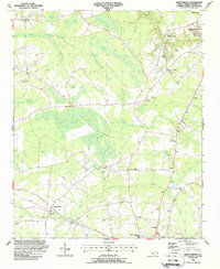
Editions of this 2022 Ammon Map
This is the sole edition of this map. No revisions or reprints were ever made.
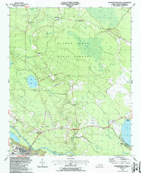
Historical Maps of North Carolina Through Time
23 maps found
1986 Council
Bladen County, NC
1986 Duart
Bladen County, NC
1986 Rowan
Bladen County, NC
1986 Singletary Lake
Bladen County, NC
1987 Abbottsburg
Bladen County, NC
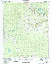
1987 Ammon
Bladen County, NC
1987 Elizabethtown North
Bladen County, NC
1987 Elizabethtown South
Bladen County, NC
1987 Emerson
Bladen County, NC
1987 Jerome
Bladen County, NC
2002 Council
Bladen County, NC
2002 Jerome
Bladen County, NC
2002 Singletary Lake
Bladen County, NC
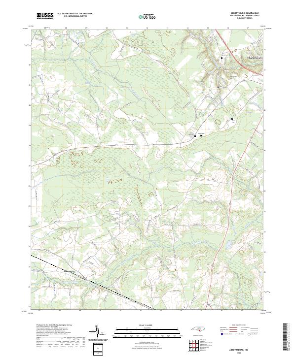
2022 Abbottsburg
Bladen County, NC
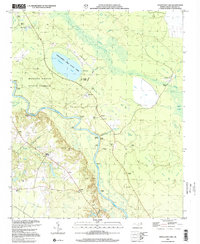
2022 Ammon
Bladen County, NC
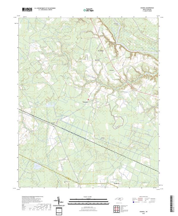
2022 Council
Bladen County, NC
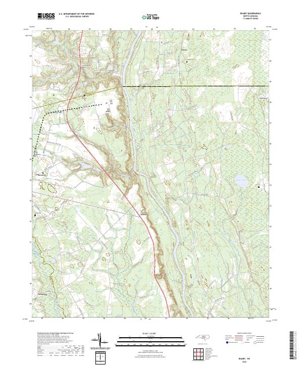
2022 Duart
Bladen County, NC
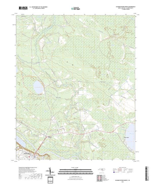
2022 Elizabethtown North
Bladen County, NC
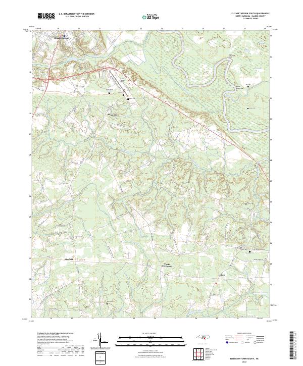
2022 Elizabethtown South
Bladen County, NC
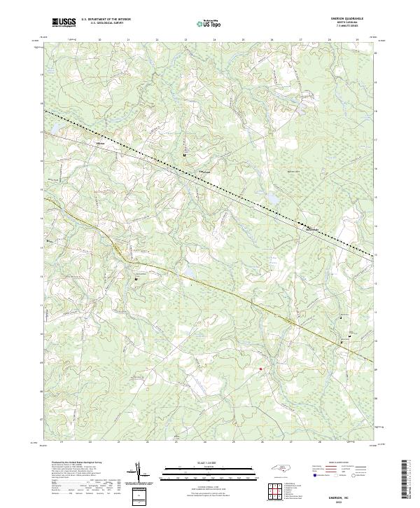
2022 Emerson
Bladen County, NC
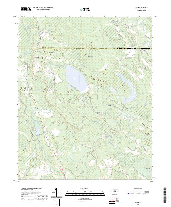
2022 Jerome
Bladen County, NC
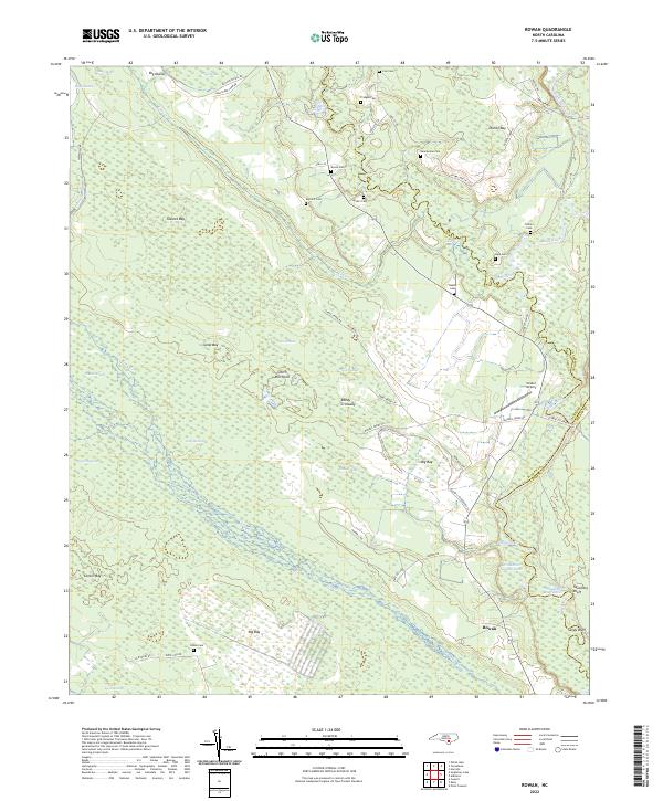
2022 Rowan
Bladen County, NC
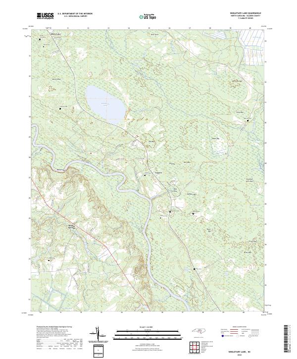
2022 Singletary Lake
Bladen County, NC