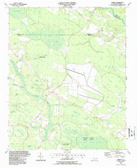
1987 Map of Ammon
USGS Topo · Published 1987About this map
Ammon sits at the heart of this landscape, a settlement defined by the unique elliptical depressions and wetlands characteristic of the Carolina Bladen region. The terrain is dominated by the sprawling Turnbull Swamp and the protected lands of the Bladen Lakes State Forest, where numerous "bays" — such as Big White Bay, Sessoms Bay, and Big Colly Bay — create a distinct mosaic of peat-filled basins and pocosin habitat.
Find a feature on this map
35 named features on this map. Tap any name to fly to it.
Don’t see what you’re looking for? This feature index may not catch every label — zoom into the map to look around manually.
Map Details
Editions of this 1987 Ammon Map
This is the sole edition of this map. No revisions or reprints were ever made.
Other maps of this area

1953 · Florence
USGS Topo · 1:250,000

1954 · Florence
USGS Topo · 1:250,000

1954 · White Lake
USGS Topo · 1:62,500

1955 · Elizabethtown
USGS Topo · 1:62,500

1959 · Roseboro
USGS Topo · 1:62,500

1959 · Garland
USGS Topo · 1:62,500

1982 · Elizabethtown
USGS Topo · 1:100,000
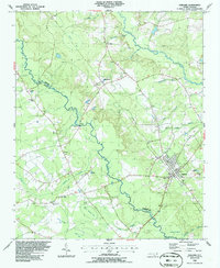
1986 · Garland
USGS Topo · 1:24,000
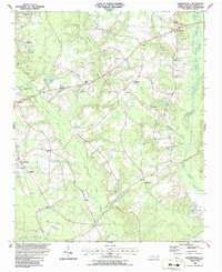
1986 · Bonnetsville
USGS Topo · 1:24,000
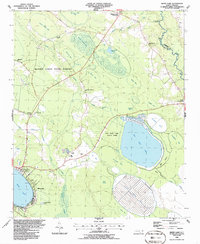
1986 · White Lake
USGS Topo · 1:24,000