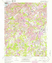
1965 Map of Anacostia
USGS Topo · Published 1979About this map
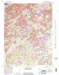
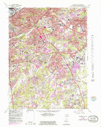
St Elizabeths Hospital and the Washington Navy Yard anchor the urban landscape of southeast Washington D.C., where residential expansion meets heavy federal and military infrastructure. This mid-century view documents the transition from the densely settled neighborhoods of Anacostia and Congress Heights to the rapidly developing suburbs of Prince Georges County. Extensive institutional grounds, including Cedar Hill Cemetery and the Washington National Cem, contrast with the rising residential grids of Hillside, Coral Hills, and Suitland Manor. To the southeast, the massive footprint of Andrews Air Force Base dominates the terrain, flanked by leisure and transport sites like the Rosecroft Raceway and Hyde Field. The network of the Baltimore Ohio Railroad and the emerging Capital Beltway illustrate a region at the height of its post-war growth, connecting longstanding settlements with new housing developments like Forest Heights and Morningside.
Find a feature on this map
156 named features on this map. Tap any name to fly to it.
Don’t see what you’re looking for? This feature index may not catch every label — zoom into the map to look around manually.
Map Details
Editions of this 1965 Anacostia Map
6 editions found
Other maps of this area

1890 · Mt. Vernon
USGS Topo · 1:125,000

1891 · Mt. Vernon
USGS Topo · 1:125,000

1892 · Brandywine
USGS Topo · 1:62,500

1894 · Mt. Vernon
USGS Topo · 1:125,000

1895 · Brandywine
USGS Topo · 1:62,500

1897 · Mt. Vernon
USGS Topo · 1:125,000

1899 · Patuxent
USGS Topo · 1:125,000

1900 · Washington
USGS Topo · 1:62,500

1906 · Patuxent
USGS Topo · 1:125,000

1911 · Brandywine
USGS Topo · 1:62,500