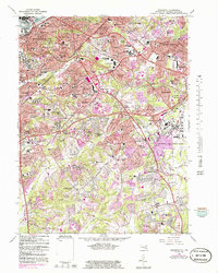
1965 Map of Anacostia
USGS Topo · Published 1986About this map
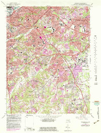
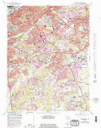
The Anacostia River and its urbanized shoreline anchor this study of the southeastern District of Columbia and Maryland border. This survey details the post-war expansion of Prince Georges County, where planned residential neighborhoods like Hillside, District Heights, and Forestville replaced rural tracts. The landscape is dominated by large federal and military installations, most notably the expansive Andrews Air Force Base and the Washington Navy Yard.
Find a feature on this map
99 named features on this map. Tap any name to fly to it.
Don’t see what you’re looking for? This feature index may not catch every label — zoom into the map to look around manually.
Map Details
Editions of this 1965 Anacostia Map
6 editions found
Other maps of this area

1890 · Mt. Vernon
USGS Topo · 1:125,000

1891 · Mt. Vernon
USGS Topo · 1:125,000

1892 · Brandywine
USGS Topo · 1:62,500

1894 · Mt. Vernon
USGS Topo · 1:125,000

1895 · Brandywine
USGS Topo · 1:62,500

1897 · Mt. Vernon
USGS Topo · 1:125,000

1899 · Patuxent
USGS Topo · 1:125,000

1900 · Washington
USGS Topo · 1:62,500

1906 · Patuxent
USGS Topo · 1:125,000

1911 · Brandywine
USGS Topo · 1:62,500