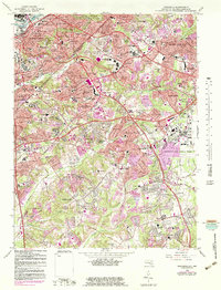
1965 Map of Anacostia
USGS Topo · Published 1983About this map
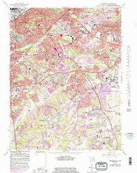
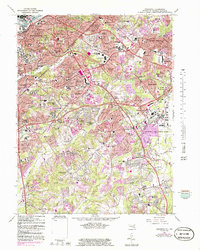
The Anacostia River waterfront and the expanding suburbs of Prince George's County define this mid-century period of growth along the District line. Post-war residential developments like Fairfax Village and Naylor Gardens sit adjacent to historical fortifications at Fort Dupont Park and Fort Stanton Park. The landscape is notably marked by massive institutional and military footprints, including the Andrews Air Force Base complex and the U S Census Bureau facilities at Suitland.
Find a feature on this map
123 named features on this map. Tap any name to fly to it.
Don’t see what you’re looking for? This feature index may not catch every label — zoom into the map to look around manually.
Map Details
Editions of this 1965 Anacostia Map
6 editions found
Other maps of this area

1890 · Mt. Vernon
USGS Topo · 1:125,000

1891 · Mt. Vernon
USGS Topo · 1:125,000

1892 · Brandywine
USGS Topo · 1:62,500

1894 · Mt. Vernon
USGS Topo · 1:125,000

1895 · Brandywine
USGS Topo · 1:62,500

1897 · Mt. Vernon
USGS Topo · 1:125,000

1899 · Patuxent
USGS Topo · 1:125,000

1900 · Washington
USGS Topo · 1:62,500

1906 · Patuxent
USGS Topo · 1:125,000

1911 · Brandywine
USGS Topo · 1:62,500