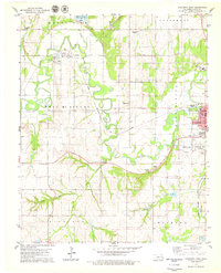
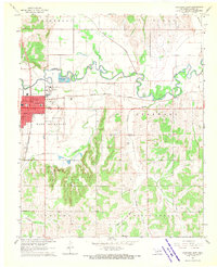
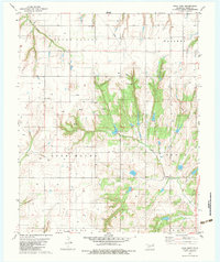
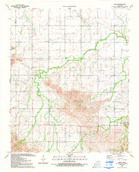
1979 Map of Anadarko West
USGS Topo · Published 1979This historical map portrays the area of Anadarko West in 1979, primarily covering Caddo County. Featuring a scale of 1:24000, this map provides a highly detailed snapshot of the terrain, roads, buildings, counties, and historical landmarks in the Anadarko West region at the time. Published in 1979, it is one of 2 known editions of this map due to revisions or reprints.
Find a feature on this map
46 named features on this map. Tap any name to fly to it.
Don’t see what you’re looking for? This feature index may not catch every label — zoom into the map to look around manually.
Map Details
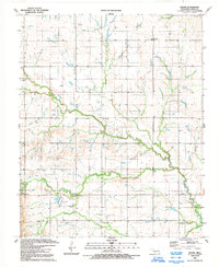
Editions of this 1979 Anadarko West Map
2 editions found
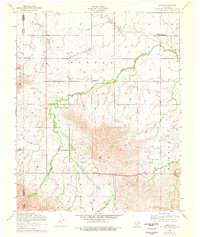
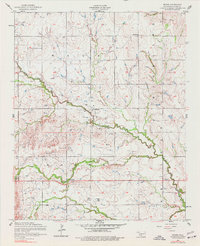
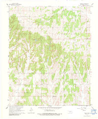
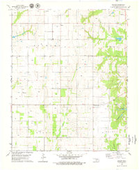
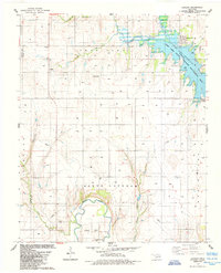
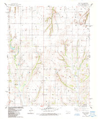
Historical Maps of Squaretop Through Time
13 maps found
1956 Alden
Caddo County, OK
1956 Boone
Caddo County, OK
1967 Cogar
Caddo County, OK
1968 Anadarko East
Caddo County, OK
1968 Anadarko NW
Caddo County, OK
1979 Anadarko West
Caddo County, OK
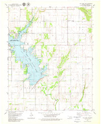
1979 Fort Cobb Dam
Caddo County, OK
1979 Rock Mary
Caddo County, OK
1979 Sickles
Caddo County, OK
1984 Alfalfa
Caddo County, OK
1984 Eakly NE
Caddo County, OK
1991 Alden
Caddo County, OK
1991 Boone
Caddo County, OK