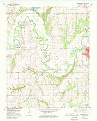
1979 Map of Anadarko West
USGS Topo · Published 1988About this map
The Washita River carves a winding path through Caddo County, defining the agricultural and industrial character of the area around Anadarko. The landscape is a mix of river bottomlands and rising terrain, partitioned into traditional local divisions like West Mc Kinley and East Mc Kinley. Significant infrastructure supports the town, including the Anadarko Muni Airport and a prominent Powerplant near the Public Service Reservoir No. 3.
Find a feature on this map
38 named features on this map. Tap any name to fly to it.
Don’t see what you’re looking for? This feature index may not catch every label — zoom into the map to look around manually.
Map Details
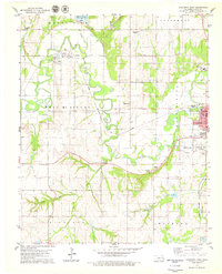
Editions of this 1979 Anadarko West Map
2 editions found
Other maps of this area

1945 · Anadarko
USGS Topo · 1:62,500

1949 · Cement
USGS Topo · 1:62,500

1951 · Fort Cobb
USGS Topo · 1:62,500

1955 · Lawton
USGS Topo · 1:250,000

1955 · Clinton
USGS Topo · 1:250,000

1956 · Boone
USGS Topo · 1:24,000
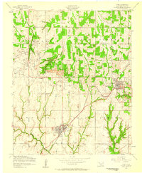
1956 · Cyril
USGS Topo · 1:24,000

1956 · Apache
USGS Topo · 1:24,000

1956 · Apache
USGS Topo · 1:62,500
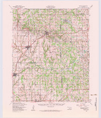
1956 · Cement
USGS Topo · 1:62,500