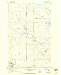
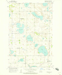
1958 Map of Anamoose
USGS Topo · Published 1959About this map
The small town of Anamoose sits at a historic rail junction on the North Dakota prairie, where the Minneapolis St Paul and Sault Ste Marie crosses the southern edge of the landscape. This 1958 survey captures a community deeply rooted in the agricultural expansion of the central plains, featuring the St Francis Cem and outlying rural schoolhouses like Lakeview Sch No 3 and White Sch. The terrain is characterized by the wide Antelope Valley and a series of kettle lakes, including Antelope Lake and Aylmer Lake, which punctuate the glacial till.
Find a feature on this map
18 named features on this map. Tap any name to fly to it.
Don’t see what you’re looking for? This feature index may not catch every label — zoom into the map to look around manually.
Map Details
Editions of this 1958 Anamoose Map
This is the sole edition of this map. No revisions or reprints were ever made.
Other maps of this area
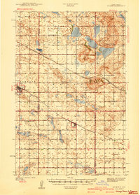
1930 · Drake
USGS Topo · 1:62,500
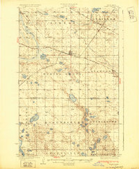
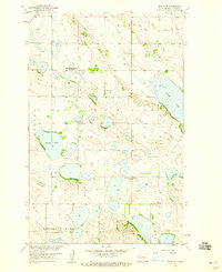
1940 · Aylmer
USGS Topo · 1:62,500
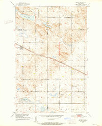
1951 · Martin
USGS Topo · 1:24,000

1951 · Anamoose SW
USGS Topo · 1:24,000

1954 · Minot
USGS Topo · 1:250,000

1954 · McClusky
USGS Topo · 1:250,000
1957 · Rangeley SE
USGS Topo · 1:24,000

1958 · McClusky
USGS Topo · 1:250,000

1958 · Minot
USGS Topo · 1:250,000
1958 · Balta SE
USGS Topo · 1:24,000