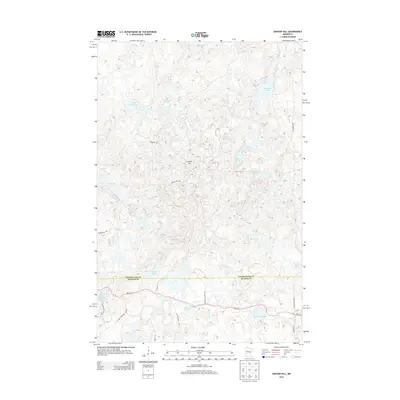
2013 Map of Anchor Hill
USGS Topo · Published 2013About this map
Anchor Hill rises above a glaciated landscape defined by dozens of small lakes and marshes along the border of Becker and Clearwater counties. This 2013 survey illustrates the remote character of this lake-strewn region, where Sugar Bush Lake and Ozawindib Lake sit in the northern reaches, while the southeastern corner is anchored by the edge of Itasca State Park. The road network is sparse, primarily consisting of routes like Anchor Hill Rd and Wilderness Dr that navigate between water bodies. To the south, the map details the shoreline of Bad Medicine Lake and the winding course of Basswood Cr. The density of named water features, including Dead Beaver Lake and Twin Island Lake, highlights the area's importance for local recreation and its characteristic Minnesota wetlands.
Find a feature on this map
31 named features on this map. Tap any name to fly to it.
Don’t see what you’re looking for? This feature index may not catch every label — zoom into the map to look around manually.
Map Details
Editions of this 2013 Anchor Hill Map
This is the sole edition of this map. No revisions or reprints were ever made.
Other maps of this area

1954 · Bemidji
USGS Topo · 1:250,000

1957 · Bemidji
USGS Topo · 1:250,000

1958 · Bemidji
USGS Topo · 1:250,000

1969 · Anchor Hill
USGS Topo · 1:24,000

1969 · Big Basswood Lake
USGS Topo · 1:24,000
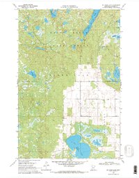
1969 · Big Rush Lake
USGS Topo · 1:24,000

1969 · Long Lost Lake
USGS Topo · 1:24,000
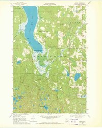
1969 · Zerkel
USGS Topo · 1:24,000

1969 · Heart Lake
USGS Topo · 1:24,000

1972 · La Salle Lake
USGS Topo · 1:24,000