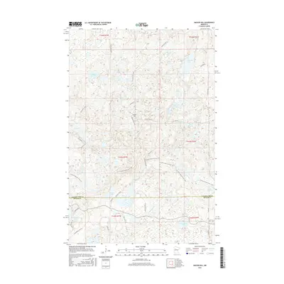
2016 Map of Anchor Hill
USGS Topo · Published 2016About this map
Anchor Hill rises as a prominent landmark in this lake-heavy pocket of the north woods along the border of Clearwater and Becker counties. The landscape is defined by a dense network of glacial basins, ranging from the large Sugar Bush Lake and Bad Medicine Lake to smaller, isolated waters like Dead Beaver Lake and Mink Lake. This 2016 survey documents the modern path of the N Country National Scenic Trail as it winds through the timber, crossing beneath the height of Anchor Hill. A web of forest roads, including Anchor Matson Rd and Two Spot Rd, provides access to these remote reaches. The drainage pattern is led by Basswood Cr, which connects several smaller water bodies like Missouri Lake before flowing southward, illustrating the complex hydrology of the region's moraine-driven terrain.
Find a feature on this map
45 named features on this map. Tap any name to fly to it.
Don’t see what you’re looking for? This feature index may not catch every label — zoom into the map to look around manually.
Map Details
Editions of this 2016 Anchor Hill Map
This is the sole edition of this map. No revisions or reprints were ever made.
Other maps of this area

1954 · Bemidji
USGS Topo · 1:250,000

1957 · Bemidji
USGS Topo · 1:250,000

1958 · Bemidji
USGS Topo · 1:250,000

1969 · Anchor Hill
USGS Topo · 1:24,000

1969 · Big Basswood Lake
USGS Topo · 1:24,000
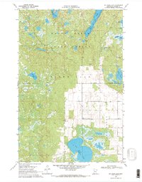
1969 · Big Rush Lake
USGS Topo · 1:24,000

1969 · Long Lost Lake
USGS Topo · 1:24,000
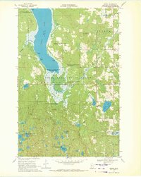
1969 · Zerkel
USGS Topo · 1:24,000

1969 · Heart Lake
USGS Topo · 1:24,000

1972 · La Salle Lake
USGS Topo · 1:24,000