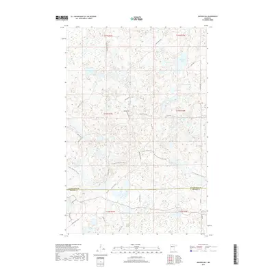
2019 Map of Anchor Hill
USGS Topo · Published 2019About this map
Anchor Hill rises as a prominent landmark in this glacial landscape of the late twenty-teens, situated at the intersection of Clearwater Co and Becker Co. The area is defined by a dense network of kettle lakes and wetlands, including Sugar Bush Lake, Myrtle Lake, and the expansive Ozawindib Lake. This U.S. Geological Survey topographic study illustrates a modern wilderness character where recreational paths like the N Country National Scenic Trail wind through the hills, intersecting with established forestry and local routes such as Anchor Matson Rd and Two Spot Rd. The presence of Missouri Lake and Basswood Cr in the southern sections, alongside smaller bodies like Dead Beaver Lake, suggests a complex hydrologic environment largely managed for natural preservation and limited access via roads like Lovelace Lake Rd.
Find a feature on this map
41 named features on this map. Tap any name to fly to it.
Don’t see what you’re looking for? This feature index may not catch every label — zoom into the map to look around manually.
Map Details
Editions of this 2019 Anchor Hill Map
This is the sole edition of this map. No revisions or reprints were ever made.
Other maps of this area

1954 · Bemidji
USGS Topo · 1:250,000

1957 · Bemidji
USGS Topo · 1:250,000

1958 · Bemidji
USGS Topo · 1:250,000

1969 · Anchor Hill
USGS Topo · 1:24,000

1969 · Big Basswood Lake
USGS Topo · 1:24,000
1969 · Big Rush Lake
USGS Topo · 1:24,000

1969 · Long Lost Lake
USGS Topo · 1:24,000
1969 · Zerkel
USGS Topo · 1:24,000

1969 · Heart Lake
USGS Topo · 1:24,000

1972 · La Salle Lake
USGS Topo · 1:24,000