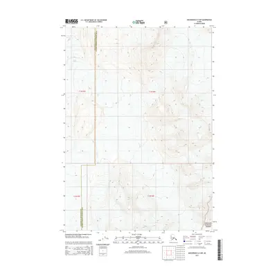
2015 Map of Anchorage A-4 NW
USGS Topo · Published 2015About this map
Colony Glacier dominates the northwest corner of this high-elevation terrain, marking a landscape defined by extreme relief and glacial activity. The map captures the administrative intersection of the Anchorage Municipality and the Valdez-Cordova Census Area, a boundary that traverses steep mountain slopes and deep valleys. This area is characterized by the vast expanse of the Chugach National Forest, which covers the southeastern portion of the quadrangle. The detailed contour lines illustrate the complex topography of the Chugach Mountains, where narrow ridges and broad glacial basins dictate the local geography. This survey provides a precise record of these natural features and political boundaries in the mid-2010s, serving as a reliable reference for understanding the remote wilderness near the head of Inner Lake George.
Find a feature on this map
7 named features on this map. Tap any name to fly to it.
Don’t see what you’re looking for? This feature index may not catch every label — zoom into the map to look around manually.
Map Details
Editions of this 2015 Anchorage A-4 NW Map
This is the sole edition of this map. No revisions or reprints were ever made.
Other maps of this area

1951 · Anchorage
USGS Topo · 1:250,000

1960 · Anchorage A-5
USGS Topo · 1:63,360

1960 · Anchorage A-4
USGS Topo · 1:63,360

1960 · Anchorage B-5
USGS Topo · 1:63,360

1960 · Anchorage B-4
USGS Topo · 1:63,360

1962 · Anchorage
USGS Topo · 1:250,000

1979 · Anchorage
USGS Topo · 1:250,000

1994 · Anchorage B-4
USGS Topo · 1:63,360
1994 · Anchorage B-5
USGS Topo · 1:63,360
2013 · Anchorage B-4 SW
USGS Topo · 1:25,000