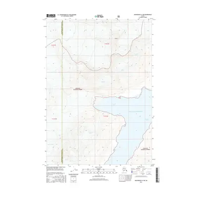
2016 Map of Anchorage A-4 SW
USGS Topo · Published 2016About this map
Prince William Sound dominates the coastal reaches of this 2016 survey, where deep marine waters meet the heavily glaciated terrain of the Chugach National Forest. The landscape is defined by its massive ice flows and technical coastal features, including the protected waters of Surprise Inlet and Harriman Fiord. High peaks such as Mt Muir stand above a series of named ice bodies that drain toward the sound, illustrating the complex glacial system of the region.
Find a feature on this map
24 named features on this map. Tap any name to fly to it.
Don’t see what you’re looking for? This feature index may not catch every label — zoom into the map to look around manually.
Map Details
Editions of this 2016 Anchorage A-4 SW Map
This is the sole edition of this map. No revisions or reprints were ever made.
Other maps of this area

1951 · Seward
USGS Topo · 1:250,000

1951 · Anchorage
USGS Topo · 1:250,000

1951 · Seward D-5
USGS Topo · 1:63,360

1951 · Seward D-4
USGS Topo · 1:63,360

1952 · Seward D-5
USGS Topo · 1:63,360

1952 · Seward D-4
USGS Topo · 1:63,360

1953 · Seward
USGS Topo · 1:250,000

1959 · Seward
USGS Topo · 1:250,000

1960 · Anchorage A-5
USGS Topo · 1:63,360

1960 · Anchorage A-4
USGS Topo · 1:63,360