
1960 Map of Anchorage A-6
USGS Topo · Published 1961About this map
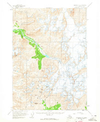
Chugach National Forest dominates this topographic landscape, showcasing the glacial activity and high-altitude terrain north of the Turnagain Arm in the early 1960s. The map documents a transition from the ice-carved valleys of Eagle River to the massive glacial systems of Eagle Glacier and Raven Glacier, where numerous crevasses are explicitly marked. For those interested in early mountain travel and exploration, the map identifies Crow Pass and the modest settlement of The Cache, alongside enigmatic ruins near Milk Gulch. These small markers of human presence are isolated among formidable peaks like Jewel Mtn and Goat Mtn. The drainage patterns are clearly defined, showing the source waters of Raven Creek and California Creek as they flow from the edges of Crow Glacier and Clear Glacier toward the lowlands.
Find a feature on this map
28 named features on this map. Tap any name to fly to it.
Don’t see what you’re looking for? This feature index may not catch every label — zoom into the map to look around manually.
Map Details
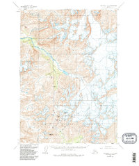
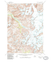
Editions of this 1960 Anchorage A-6 Map
4 editions found
Other maps of this area

1951 · Seward
USGS Topo · 1:250,000

1951 · Anchorage
USGS Topo · 1:250,000

1951 · Seward D-5
USGS Topo · 1:63,360

1951 · Seward D-7
USGS Topo · 1:63,360

1951 · Seward D-6
USGS Topo · 1:63,360

1952 · Seward D-5
USGS Topo · 1:63,360

1952 · Seward D-6
USGS Topo · 1:63,360

1952 · Seward D-7
USGS Topo · 1:63,360

1953 · Seward
USGS Topo · 1:250,000

1959 · Seward
USGS Topo · 1:250,000