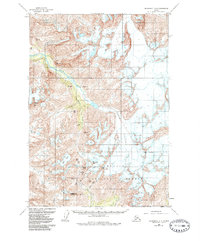
1960 Map of Anchorage A-6
USGS Topo · Published 1985About this map
Chugach National Forest encompasses the southern portion of this high-altitude landscape, where several major ice fields feed the local drainage systems. The map illustrates a complex glacial network, including the expansive Eagle Glacier and the Raven Glacier, which contribute to the flow of the Eagle River and Raven Creek. These waterways carve through a series of prominent peaks such as Summit Mtn, Jewel Mtn, and Organ Mtn.
Find a feature on this map
26 named features on this map. Tap any name to fly to it.
Don’t see what you’re looking for? This feature index may not catch every label — zoom into the map to look around manually.
Map Details
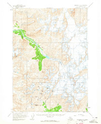
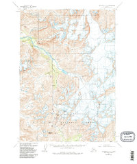
Editions of this 1960 Anchorage A-6 Map
4 editions found

Other maps of this area

1951 · Seward
USGS Topo · 1:250,000

1951 · Anchorage
USGS Topo · 1:250,000

1951 · Seward D-5
USGS Topo · 1:63,360

1951 · Seward D-7
USGS Topo · 1:63,360

1951 · Seward D-6
USGS Topo · 1:63,360

1952 · Seward D-5
USGS Topo · 1:63,360

1952 · Seward D-6
USGS Topo · 1:63,360

1952 · Seward D-7
USGS Topo · 1:63,360

1953 · Seward
USGS Topo · 1:250,000

1959 · Seward
USGS Topo · 1:250,000