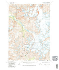
1960 Map of Anchorage A-6
USGS Topo · Published 1985About this map
Eagle Glacier and the massive ice fields of the Chugach National Forest dominate this landscape, illustrating the complex glacial drainage systems of the Chugach Mountains during the late 1950s. The topographic detail traces the flow of ice into Eagle River and Raven Creek, while high-altitude landmarks like Crow Pass and The Cache provide reference points for early mountaineers and explorers. Numerous smaller glaciers, including Milk Glacier, Clear Glacier, and Raven Glacier, are mapped in their mid-century extent, feeding into water bodies such as Crystal Lake and Bird Creek. The map documents a wilderness defined by its elevations, ranging from the heights of Organ Mtn and Jewel Mtn to the southern reaches of the Twentymile R.
Find a feature on this map
22 named features on this map. Tap any name to fly to it.
Don’t see what you’re looking for? This feature index may not catch every label — zoom into the map to look around manually.
Map Details
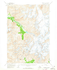
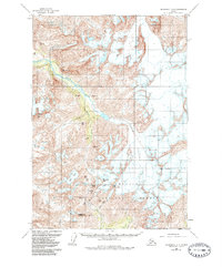
Editions of this 1960 Anchorage A-6 Map
4 editions found

Other maps of this area

1951 · Seward
USGS Topo · 1:250,000

1951 · Anchorage
USGS Topo · 1:250,000

1951 · Seward D-5
USGS Topo · 1:63,360

1951 · Seward D-7
USGS Topo · 1:63,360

1951 · Seward D-6
USGS Topo · 1:63,360

1952 · Seward D-5
USGS Topo · 1:63,360

1952 · Seward D-6
USGS Topo · 1:63,360

1952 · Seward D-7
USGS Topo · 1:63,360

1953 · Seward
USGS Topo · 1:250,000

1959 · Seward
USGS Topo · 1:250,000