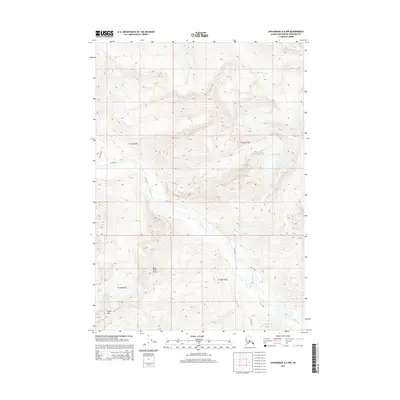
2015 Map of Anchorage A-6 NW
USGS Topo · Published 2015About this map
Crow Pass provides a vital corridor through the high country northeast of Anchorage, serving as a primary route for those traversing the mountain landscape between the Eagle River and Turnagain Arm. The glacial character of the region is evident in the presence of Organ Glacier and Icicle Glacier, which feed into the drainage systems of Raven Cr and Peters Cr. Prominent landmarks such as Polar Bear Peak and Organ Mtn anchor the high-elevation terrain, while Dew Mound rises above the valley floor. This 2015 survey illustrates the drainage patterns and topographic relief of the Chugach Mountains, where the flow of Camp Cr and the main channel of the Eagle River define the local hydrography. The map serves as a record of the area's natural features and established trails prior to recent environmental shifts in the Alaskan interior.
Find a feature on this map
14 named features on this map. Tap any name to fly to it.
Don’t see what you’re looking for? This feature index may not catch every label — zoom into the map to look around manually.
Map Details
Editions of this 2015 Anchorage A-6 NW Map
This is the sole edition of this map. No revisions or reprints were ever made.
Other maps of this area

1951 · Anchorage
USGS Topo · 1:250,000

1960 · Anchorage A-6
USGS Topo · 1:63,360

1960 · Anchorage B-7
USGS Topo · 1:63,360

1960 · Anchorage B-6
USGS Topo · 1:63,360

1960 · Anchorage A-7
USGS Topo · 1:63,360

1962 · Anchorage
USGS Topo · 1:250,000
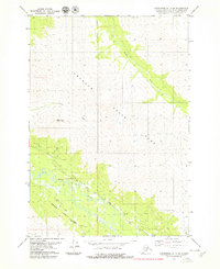
1979 · Anchorage B-7 SE
USGS Topo · 1:25,000

1979 · Anchorage
USGS Topo · 1:250,000
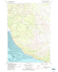
1979 · Anchorage A-7 NE
USGS Topo · 1:25,000
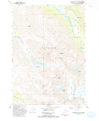
1993 · Anchorage A-7 NE
USGS Topo · 1:25,000