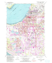
1979 Map of Anchorage A-8 NW
USGS Topo · Published 1994About this map
Anchorage is captured here during a period of significant urban expansion, showing the city's complex network of neighborhoods and aviation hubs as they existed in the late 1970s. The map illustrates the integration of residential life with major infrastructure, from the sprawling Anchorage International Airport and Merrill Field to the industrial activity at the Port of Anchorage. Purple revision layers from the early 1990s document the rapid filling in of formerly open spaces, particularly around Spenard and south toward Campbell Lake.
Find a feature on this map
136 named features on this map. Tap any name to fly to it.
Don’t see what you’re looking for? This feature index may not catch every label — zoom into the map to look around manually.
Map Details
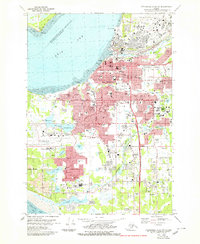
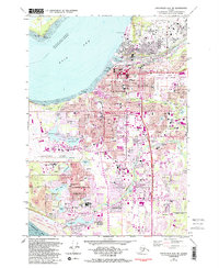
Editions of this 1979 Anchorage A-8 NW Map
3 editions found
Other maps of this area

1949 · Tyonek
USGS Topo · 1:250,000

1951 · Anchorage
USGS Topo · 1:250,000

1951 · Tyonek
USGS Topo · 1:250,000

1951 · Tyonek A-1
USGS Topo · 1:63,360

1952 · Tyonek A-1
USGS Topo · 1:63,360

1952 · Anchorage A-8
USGS Topo · 1:63,360

1952 · Anchorage B-8
USGS Topo · 1:63,360

1953 · Anchorage A-8
USGS Topo · 1:63,360

1953 · Anchorage B-8
USGS Topo · 1:63,360

1958 · Tyonek B-1
USGS Topo · 1:63,360