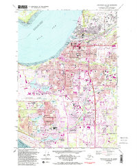
1979 Map of Anchorage A-8 NW
USGS Topo · Published 1994About this map
Anchorage serves as the focal point of this coastal survey, where the urban grid meets the waters of Knik Arm. The map documents a period of significant growth and military infrastructure, showing the expansive Elmendorf Air Force Base to the north and the complex aviation network of Merrill Field and the Hood Lake Seaplane Base. Inland, the landscape is defined by a series of glacial lakes including Sand Lake, Campbell Lake, and Lake Spenard, which are interconnected by the winding paths of Chester Creek and Campbell Creek.
Find a feature on this map
118 named features on this map. Tap any name to fly to it.
Don’t see what you’re looking for? This feature index may not catch every label — zoom into the map to look around manually.
Map Details
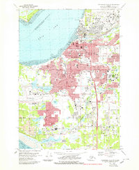
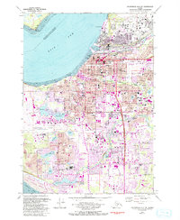
Editions of this 1979 Anchorage A-8 NW Map
3 editions found
Other maps of this area

1949 · Tyonek
USGS Topo · 1:250,000

1951 · Anchorage
USGS Topo · 1:250,000

1951 · Tyonek
USGS Topo · 1:250,000

1951 · Tyonek A-1
USGS Topo · 1:63,360

1952 · Tyonek A-1
USGS Topo · 1:63,360

1952 · Anchorage A-8
USGS Topo · 1:63,360

1952 · Anchorage B-8
USGS Topo · 1:63,360

1953 · Anchorage A-8
USGS Topo · 1:63,360

1953 · Anchorage B-8
USGS Topo · 1:63,360

1958 · Tyonek B-1
USGS Topo · 1:63,360