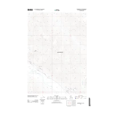
2013 Map of Anchorage B-7 SE
USGS Topo · Published 2013About this map
Mount Magnificent dominates this mountainous landscape northeast of the Anchorage bowl, where high-elevation drainage basins feed into the Eagle River. The terrain is defined by a series of steep ridges and creek valleys, including Peters Cr and Little Peters Cr to the north, and Meadow Cr and Falling Water Cr further south.
Find a feature on this map
20 named features on this map. Tap any name to fly to it.
Don’t see what you’re looking for? This feature index may not catch every label — zoom into the map to look around manually.
Map Details
Editions of this 2013 Anchorage B-7 SE Map
This is the sole edition of this map. No revisions or reprints were ever made.
Other maps of this area

1951 · Anchorage
USGS Topo · 1:250,000

1960 · Anchorage A-6
USGS Topo · 1:63,360

1960 · Anchorage B-7
USGS Topo · 1:63,360

1960 · Anchorage B-6
USGS Topo · 1:63,360

1960 · Anchorage A-7
USGS Topo · 1:63,360

1962 · Anchorage
USGS Topo · 1:250,000

1979 · Anchorage B-6 NW
USGS Topo · 1:25,000

1979 · Anchorage B-7 SW
USGS Topo · 1:25,000
1979 · Anchorage B-7 SE
USGS Topo · 1:25,000
1979 · Anchorage B-7 NE
USGS Topo · 1:25,000