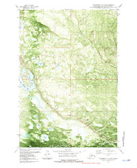
1979 Map of Anchorage C-8 NW
USGS Topo · Published 1981About this map
The Alaska Railroad cuts a diagonal path through this Matanuska-Susitna landscape, serving as a primary corridor for transportation and industry. The region is defined by a dense network of water bodies, notably Nancy Lake and the Nancy Lake State Recreation Area, which indicate the area's role in northern recreation and conservation. Aviation infrastructure is also evident, with a Seaplane Base on the shoreline and a remote Landing Strip to the south, highlighting the necessity of air travel in this terrain.
Find a feature on this map
21 named features on this map. Tap any name to fly to it.
Don’t see what you’re looking for? This feature index may not catch every label — zoom into the map to look around manually.
Map Details
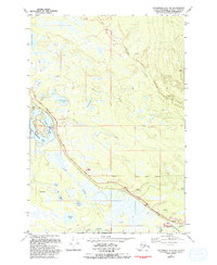
Editions of this 1979 Anchorage C-8 NW Map
2 editions found
Other maps of this area

1949 · Tyonek
USGS Topo · 1:250,000

1949 · Anchorage D-8
USGS Topo · 1:63,360

1950 · Anchorage C-8
USGS Topo · 1:63,360

1951 · Anchorage
USGS Topo · 1:250,000

1951 · Tyonek
USGS Topo · 1:250,000

1951 · Anchorage D-8
USGS Topo · 1:63,360

1952 · Anchorage C-8
USGS Topo · 1:63,360

1952 · Tyonek D-1
USGS Topo · 1:63,360

1952 · Tyonek C-1
USGS Topo · 1:63,360

1952 · Anchorage D-8
USGS Topo · 1:63,360