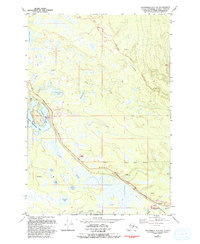
1979 Map of Anchorage C-8 NW
USGS Topo · Published 1993About this map
Water and woodland define this portion of the Matanuska-Susitna Borough, where the George Parks Highway serves as the primary artery through a landscape dotted with numerous lakes. Significant recreational and municipal boundaries are established here, including the northern reaches of the Nancy Lake State Recreation Area and the Houston Corporate Boundary. The map documents a specialized transportation network required for the Alaskan interior, featuring a Seaplane Base Boat Ramp on Nancy Lake and multiple locations marked as Landing Strip.
Find a feature on this map
27 named features on this map. Tap any name to fly to it.
Don’t see what you’re looking for? This feature index may not catch every label — zoom into the map to look around manually.
Map Details
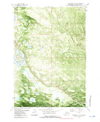
Editions of this 1979 Anchorage C-8 NW Map
2 editions found
Other maps of this area

1949 · Tyonek
USGS Topo · 1:250,000

1949 · Anchorage D-8
USGS Topo · 1:63,360

1950 · Anchorage C-8
USGS Topo · 1:63,360

1951 · Anchorage
USGS Topo · 1:250,000

1951 · Tyonek
USGS Topo · 1:250,000

1951 · Anchorage D-8
USGS Topo · 1:63,360

1952 · Anchorage C-8
USGS Topo · 1:63,360

1952 · Tyonek D-1
USGS Topo · 1:63,360

1952 · Tyonek C-1
USGS Topo · 1:63,360

1952 · Anchorage D-8
USGS Topo · 1:63,360