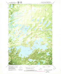
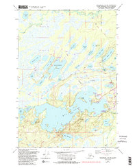
1979 Map of Anchorage C-8 SW
USGS Topo · Published 1980About this map
Big Lake and its intricate network of surrounding waterways dominate this 1970s orthophotomosaic, revealing a landscape defined by glacial topography and emerging recreation. The transition from the Little Susitna River in the north toward the densely clustered basins of Horseshoe Lake, Mirror Lake, and Flat Lake highlights the region's unique hydrology. This era shows the early infrastructure supporting the Matanuska-Susitna area, including the Corporate Houston Boundary and the tracks of The Alaska RR cutting through the northeast corner.
Find a feature on this map
43 named features on this map. Tap any name to fly to it.
Don’t see what you’re looking for? This feature index may not catch every label — zoom into the map to look around manually.
Map Details
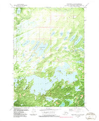
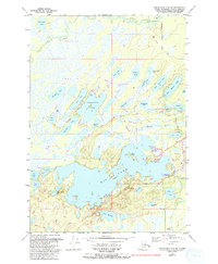
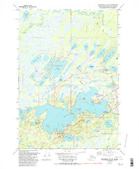
Editions of this 1979 Anchorage C-8 SW Map
5 editions found
Other maps of this area

1949 · Tyonek
USGS Topo · 1:250,000

1950 · Anchorage C-8
USGS Topo · 1:63,360

1951 · Anchorage
USGS Topo · 1:250,000

1951 · Tyonek
USGS Topo · 1:250,000

1952 · Anchorage C-8
USGS Topo · 1:63,360

1952 · Tyonek C-1
USGS Topo · 1:63,360

1952 · Anchorage B-8
USGS Topo · 1:63,360

1953 · Anchorage B-8
USGS Topo · 1:63,360

1958 · Tyonek B-1
USGS Topo · 1:63,360

1958 · Tyonek C-1
USGS Topo · 1:63,360