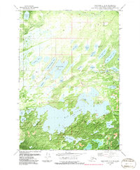
1979 Map of Anchorage C-8 SW
USGS Topo · Published 1986About this map
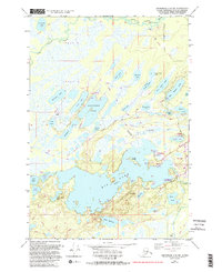
Big Lake dominates this 1970s orthophotomosaic, appearing as a complex network of bays and inlets south of the Houston Corporate Boundary. The landscape is a dense matrix of water and wetlands, characterized by uniquely named features such as Horseshoe Lake, Muleshoe Lake, and Mirror Lake. The presence of several Campgrounds and Piers along the shoreline suggests the area's development as a recreational destination during the late twentieth century.
Find a feature on this map
44 named features on this map. Tap any name to fly to it.
Don’t see what you’re looking for? This feature index may not catch every label — zoom into the map to look around manually.
Map Details
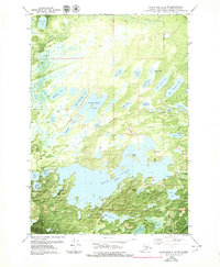
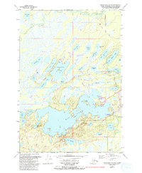
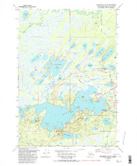
Editions of this 1979 Anchorage C-8 SW Map
5 editions found
Other maps of this area

1949 · Tyonek
USGS Topo · 1:250,000

1950 · Anchorage C-8
USGS Topo · 1:63,360

1951 · Anchorage
USGS Topo · 1:250,000

1951 · Tyonek
USGS Topo · 1:250,000

1952 · Anchorage C-8
USGS Topo · 1:63,360

1952 · Tyonek C-1
USGS Topo · 1:63,360

1952 · Anchorage B-8
USGS Topo · 1:63,360

1953 · Anchorage B-8
USGS Topo · 1:63,360

1958 · Tyonek B-1
USGS Topo · 1:63,360

1958 · Tyonek C-1
USGS Topo · 1:63,360