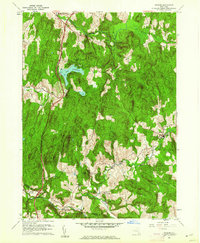
1960 Map of Ancram
USGS Topo · Published 1962About this map
Lake Taghkanic State Park and the surrounding Columbia County hills are captured here following a 1960 revision that updated the local landscape of the early 1940s. The settlement of Ancram serves as a primary hub in the east, situated near the Ancram Union Cem, while the hamlet of Gallatinville sits to the south along the winding course of the Roeliff Jansen Kill. This waterway, along with Taghkanic Creek and Shekomeko Creek, dictated the historical placement of industrial and agricultural sites, including the notable Spaulding Furnace and the small cluster at New Forge.
Find a feature on this map
30 named features on this map. Tap any name to fly to it.
Don’t see what you’re looking for? This feature index may not catch every label — zoom into the map to look around manually.
Map Details
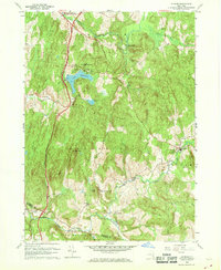
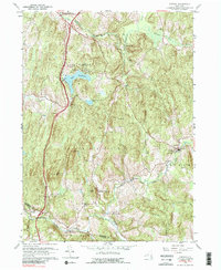
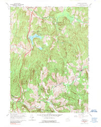
Editions of this 1960 Ancram Map
4 editions found
Other maps of this area

1895 · Catskill
USGS Topo · 1:62,500

1898 · Rhinebeck
USGS Topo · 1:62,500

1899 · Millbrook
USGS Topo · 1:62,500

1902 · Millbrook
USGS Topo · 1:62,500

1902 · Copake
USGS Topo · 1:62,500

1904 · Copake
USGS Topo · 1:62,500

1934 · Rhinebeck
USGS Topo · 1:48,000

1934 · Catskill
USGS Topo · 1:62,500

1938 · Catskill
USGS Topo · 1:62,500

1939 · Rhinebeck
USGS Topo · 1:62,500