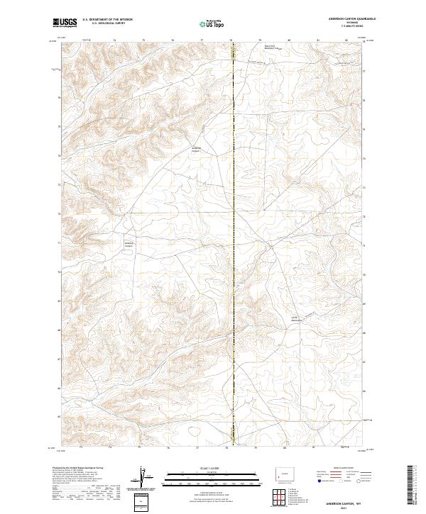
2021 Map of Anderson Canyon
USGS Topo · Published 2021About this map
The California-Oregon Trl cuts across the northern reaches of this landscape, marking a historic corridor of western migration that remains etched into the modern topography. Situated along the boundary between Lincoln and Sweetwater counties, the area is defined by a complex network of drainages and high points. Significant geological depressions such as Anderson Canyon and Delaney Canyon characterize the western sections, while the West Fork Buckhorn Canyon dominates the northeast. This terrain is accessible via a sparse network of rural routes including Steed Rd and Colorado Rd. A prominent landmark, Little Monument, stands in the southeast, serving as a distinct navigational point amidst the high desert environment. The map effectively illustrates the intersection of pioneering history and current county delineations in this sparsely settled region.
Find a feature on this map
13 named features on this map. Tap any name to fly to it.
Don’t see what you’re looking for? This feature index may not catch every label — zoom into the map to look around manually.
Map Details
Editions of this 2021 Anderson Canyon Map
This is the sole edition of this map. No revisions or reprints were ever made.
Other maps of this area

1955 · Preston
USGS Topo · 1:250,000

1955 · Lander
USGS Topo · 1:250,000

1958 · Lander
USGS Topo · 1:250,000

1958 · Preston
USGS Topo · 1:250,000

1961 · Lander
USGS Topo · 1:250,000

1962 · Preston
USGS Topo · 1:250,000

1968 · Anderson Canyon
USGS Topo · 1:24,000

1968 · Fontenelle Reservoir SE
USGS Topo · 1:24,000

1968 · Names Hill
USGS Topo · 1:24,000

1968 · Fontenelle Reservoir SW
USGS Topo · 1:24,000