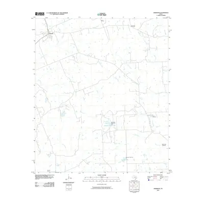
2010 Map of Anderson
USGS Topo · Published 2010About this map
Anderson serves as the primary hub of this East Texas landscape, situated at the convergence of several rural thoroughfares. The settlement of Apolonia appears in the northeast, marking a more dispersed residential pattern. The terrain is defined by an intricate network of waterways, including the winding paths of Holland Creek and Caney Creek, which feed into various man-made water bodies and lowland areas like the Buff Lake Bottoms. For family historians, the presence of Mason Cemetery to the north and Harmony Cemetery to the south provides significant points for genealogical research. The map also documents the development of local resources and land management through features such as Bluebonnet Farms Lake and Stonehan Lake, reflecting the region's agricultural and rural character in the early 21st century.
Find a feature on this map
22 named features on this map. Tap any name to fly to it.
Don’t see what you’re looking for? This feature index may not catch every label — zoom into the map to look around manually.
Map Details
Editions of this 2010 Anderson Map
This is the sole edition of this map. No revisions or reprints were ever made.
Other maps of this area

1914 · Navasota
USGS Topo · 1:62,500

1954 · Beaumont
USGS Topo · 1:250,000

1954 · Austin
USGS Topo · 1:250,000

1956 · Carlos
USGS Topo · 1:62,500

1957 · Beaumont
USGS Topo · 1:250,000

1958 · Navasota
USGS Topo · 1:24,000

1958 · Courtney
USGS Topo · 1:24,000

1960 · Carlos
USGS Topo · 1:24,000

1961 · Anderson
USGS Topo · 1:24,000

1961 · Stoneham
USGS Topo · 1:24,000