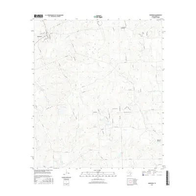
2016 Map of Anderson
USGS Topo · Published 2016About this map
Anderson serves as the focal point of this Central Texas landscape, where historical street names like Fanthorp St and Houston St reflect its deep-rooted role in the county's history. The terrain is defined by a dense network of seasonal watercourses, including Holland Cr, Nebletts Cr, and Thomas Cr, which converge as they flow toward the low-lying Buff Lake Bottoms in the southeast. This 2016 survey illustrates the balance between established community centers and the rural periphery, where family and community landmarks such as Mason Cem, Pine Grove Cem, and Harmony Cem are preserved among the winding county roads.
Find a feature on this map
71 named features on this map. Tap any name to fly to it.
Don’t see what you’re looking for? This feature index may not catch every label — zoom into the map to look around manually.
Map Details
Editions of this 2016 Anderson Map
This is the sole edition of this map. No revisions or reprints were ever made.
Other maps of this area

1914 · Navasota
USGS Topo · 1:62,500

1954 · Beaumont
USGS Topo · 1:250,000

1954 · Austin
USGS Topo · 1:250,000

1956 · Carlos
USGS Topo · 1:62,500

1957 · Beaumont
USGS Topo · 1:250,000

1958 · Navasota
USGS Topo · 1:24,000

1958 · Courtney
USGS Topo · 1:24,000

1960 · Carlos
USGS Topo · 1:24,000

1961 · Anderson
USGS Topo · 1:24,000

1961 · Stoneham
USGS Topo · 1:24,000