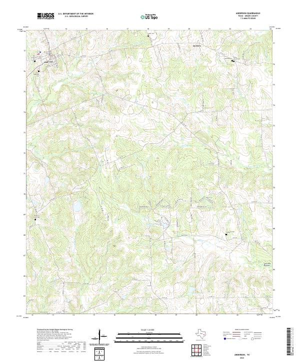
2022 Map of Anderson
USGS Topo · Published 2022About this map
The Grimes County Courthouse stands as the central landmark of Anderson, anchoring a landscape where the rural heritage of East Texas is written in its numerous family and community burial grounds. From the Zion Lutheran Cem and Saint Stanislaus Cem near the town center to the remote Piney Woods Cem and Coaxberry Cem, the map reveals a dense network of early settlement sites. To the northeast, the community of Apolonia sits near the headwaters of Holland Cr, while the southern reaches are defined by the wetlands of Buff Lake Bottoms and the waters of Stoneham Lake. The terrain is deeply etched by a complex drainage system including Haynie Cr, Caney Cr, and Nebletts Cr, reflecting the traditional agricultural and ranching character of the region.
Find a feature on this map
79 named features on this map. Tap any name to fly to it.
Don’t see what you’re looking for? This feature index may not catch every label — zoom into the map to look around manually.
Map Details
Editions of this 2022 Anderson Map
This is the sole edition of this map. No revisions or reprints were ever made.
Other maps of this area

1914 · Navasota
USGS Topo · 1:62,500

1954 · Beaumont
USGS Topo · 1:250,000

1954 · Austin
USGS Topo · 1:250,000

1956 · Carlos
USGS Topo · 1:62,500

1957 · Beaumont
USGS Topo · 1:250,000

1958 · Navasota
USGS Topo · 1:24,000

1958 · Courtney
USGS Topo · 1:24,000

1960 · Carlos
USGS Topo · 1:24,000

1961 · Anderson
USGS Topo · 1:24,000

1961 · Stoneham
USGS Topo · 1:24,000