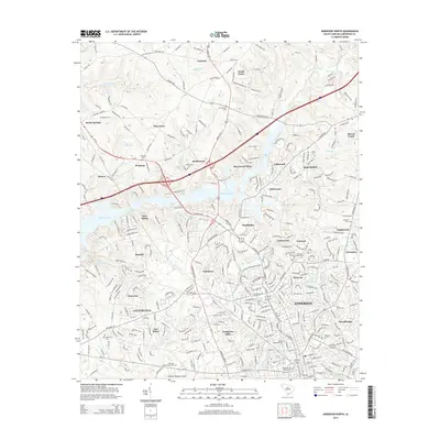
2014 Map of Anderson North
USGS Topo · Published 2014About this map
The northern reaches of Anderson and the suburban expansion into Anderson County define this modern topographic study. The landscape is dominated by the sprawling fingers of Hartwell Lake, which separate established communities like Denver and New Salem from the newer residential corridors of Northview and Evergreen Hills. This era shows a transition from rural crossroads like Sandy Springs and Lebanon toward a more integrated metropolitan footprint, anchored in the south by Anderson Univ and the Anderson Regional Airport.
Find a feature on this map
324 named features on this map. Tap any name to fly to it.
Don’t see what you’re looking for? This feature index may not catch every label — zoom into the map to look around manually.
Map Details
Editions of this 2014 Anderson North Map
This is the sole edition of this map. No revisions or reprints were ever made.
Other maps of this area

1888 · Pickens
USGS Topo · 1:125,000

1893 · Elberton
USGS Topo · 1:125,000

1894 · Pickens
USGS Topo · 1:125,000

1950 · La France
USGS Topo · 1:24,000

1951 · La France
USGS Topo · 1:24,000

1951 · Clemson
USGS Topo · 1:24,000

1954 · Greenville
USGS Topo · 1:250,000

1957 · Anderson
USGS Topo · 1:62,500

1958 · Greenville
USGS Topo · 1:250,000

1959 · Hartwell NE
USGS Topo · 1:24,000