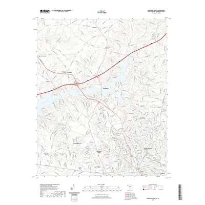
2020 Map of Anderson North
USGS Topo · Published 2020About this map
Anderson serves as the focal point of this upstate landscape, where the Anderson County Courthouse stands at the center of a dense urban street grid. The city's expansion is evident in the established neighborhoods of Centerville, Evergreen Hills, and Northlake, while its educational heritage is anchored by Anderson University and the Tri County Technical College Anderson Campus. The surrounding terrain is defined by the dendritic drainage patterns of Six and Twenty Creek and Hurricane Creek, which flow toward the larger reservoirs of the region.
Find a feature on this map
288 named features on this map. Tap any name to fly to it.
Don’t see what you’re looking for? This feature index may not catch every label — zoom into the map to look around manually.
Map Details
Editions of this 2020 Anderson North Map
This is the sole edition of this map. No revisions or reprints were ever made.
Other maps of this area

1888 · Pickens
USGS Topo · 1:125,000

1893 · Elberton
USGS Topo · 1:125,000

1894 · Pickens
USGS Topo · 1:125,000

1950 · La France
USGS Topo · 1:24,000

1951 · La France
USGS Topo · 1:24,000

1951 · Clemson
USGS Topo · 1:24,000

1954 · Greenville
USGS Topo · 1:250,000

1957 · Anderson
USGS Topo · 1:62,500

1958 · Greenville
USGS Topo · 1:250,000

1959 · Hartwell NE
USGS Topo · 1:24,000