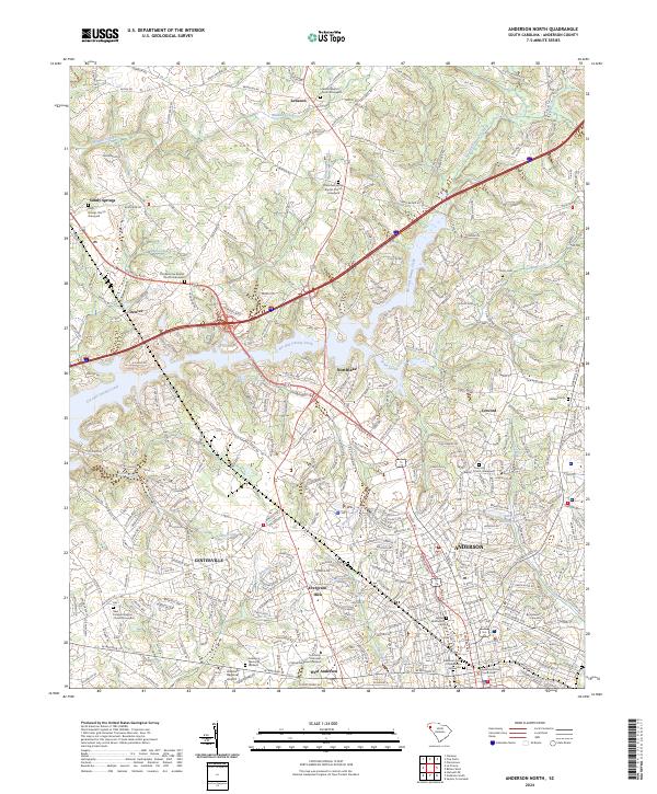
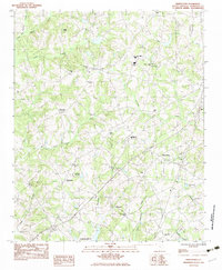
2024 Map of Anderson North
USGS Topo · Published 2024This historical map portrays the area of Anderson North in 2024, primarily covering Anderson. Featuring a scale of 1:24000, this map provides a highly detailed snapshot of the terrain, roads, buildings, counties, and historical landmarks in the Anderson North region at the time. Published in 2024, it is the sole known edition of this map.
Map Details
Editions of this 2024 Anderson North Map
This is the sole edition of this map. No revisions or reprints were ever made.
Historical Maps of Franklin Place Through Time
16 maps found
1959 Hartwell NE
Anderson County, SC
1964 Anderson South
Anderson County, SC
1964 Saylors Crossroads
Anderson County, SC
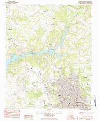
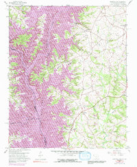
1983 Anderson North
Anderson County, SC
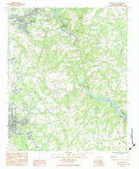
1983 Belton East
Anderson County, SC
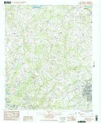
1983 Belton West
Anderson County, SC
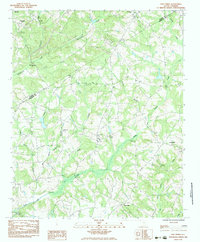
1983 Five Forks
Anderson County, SC
1983 Piercetown
Anderson County, SC
2024 Anderson North
Anderson County, SC
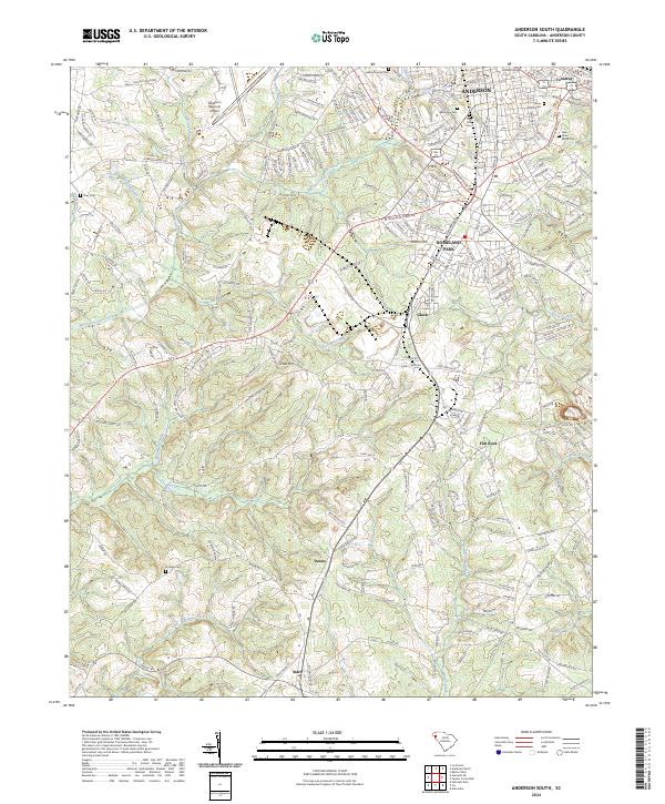
2024 Anderson South
Anderson County, SC
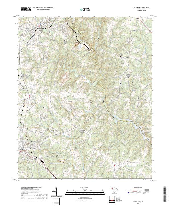
2024 Belton East
Anderson County, SC
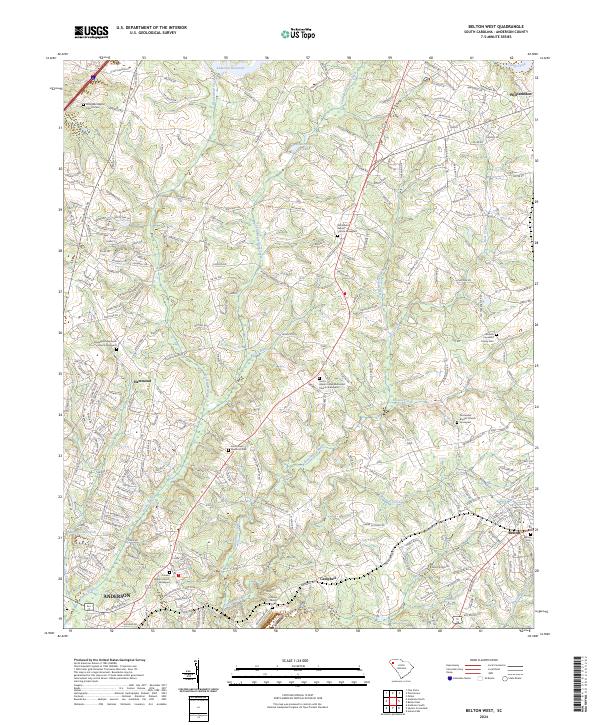
2024 Belton West
Anderson County, SC
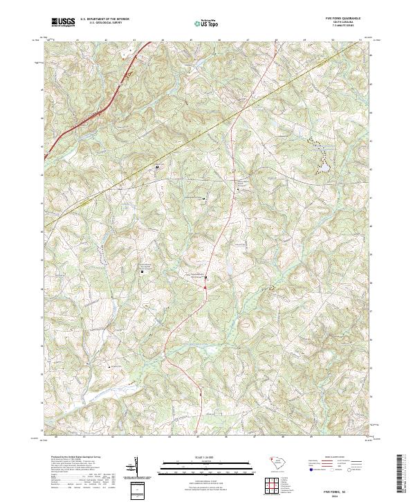
2024 Five Forks
Anderson County, SC
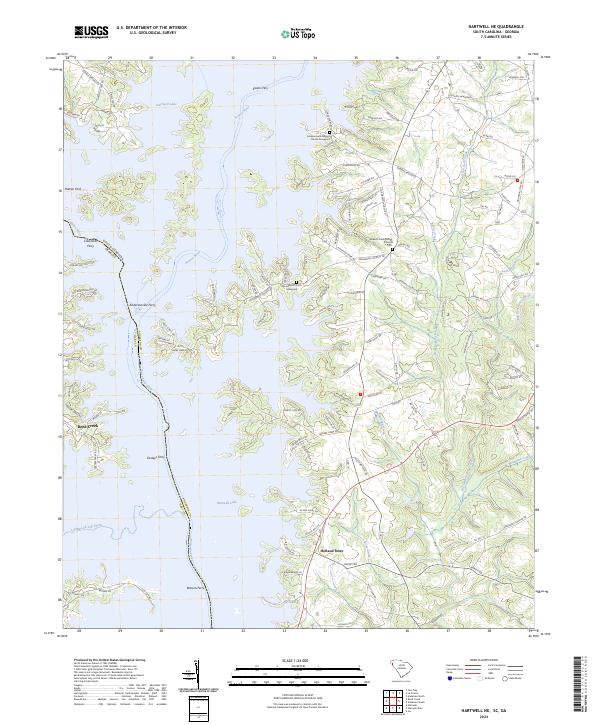
2024 Hartwell NE
Anderson County, SC
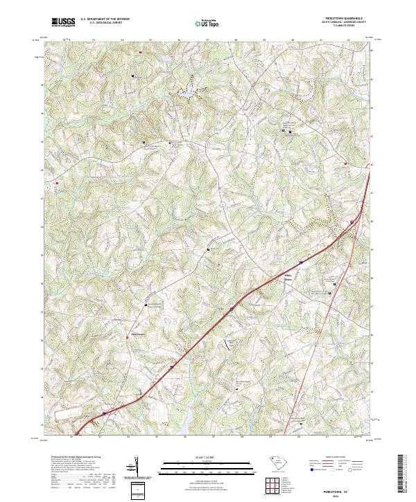
2024 Piercetown
Anderson County, SC
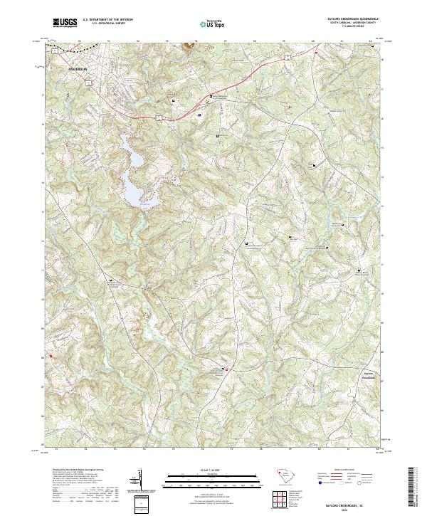
2024 Saylors Crossroads
Anderson County, SC