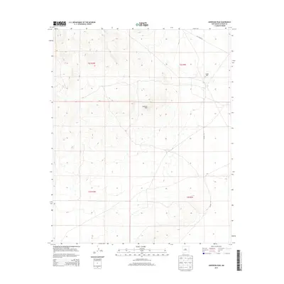
2013 Map of Anderson Peak
USGS Topo · Published 2013About this map
Anderson Peak and Snake Hill define the high ground of this Catron County landscape, situated within the survey boundaries of t2s r10w and t2s r9w. The terrain is marked by the path of Old Highway 60 as it cuts across the northern edge of the quadrangle, representing an older era of transcontinental travel before modern bypasses. A secondary route, Co Road 152, moves through the eastern sections, providing a glimpse into the rural infrastructure of this part of New Mexico. The map preserves the specific township and range grid, such as t3s r10w and t3s r9w, which organizes the open country between these prominent elevations.
Find a feature on this map
8 named features on this map. Tap any name to fly to it.
Don’t see what you’re looking for? This feature index may not catch every label — zoom into the map to look around manually.
Map Details
Editions of this 2013 Anderson Peak Map
This is the sole edition of this map. No revisions or reprints were ever made.
Other maps of this area

1954 · Tularosa
USGS Topo · 1:250,000

1954 · Socorro
USGS Topo · 1:250,000

1958 · Socorro
USGS Topo · 1:250,000

1958 · Tularosa
USGS Topo · 1:250,000

1962 · Socorro
USGS Topo · 1:250,000

1963 · Anderson Peak
USGS Topo · 1:24,000

1963 · Datil
USGS Topo · 1:24,000

1964 · Crosby Springs
USGS Topo · 1:24,000
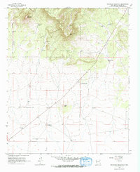
1965 · Sugarloaf Mountain
USGS Topo · 1:24,000
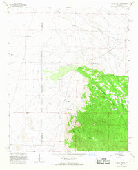
1965 · Kellog Well
USGS Topo · 1:24,000