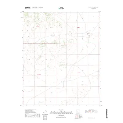
2023 Map of Anderson Peak
USGS Topo · Published 2023About this map
Anderson Peak rises as the central landmark in this high-altitude landscape of Catron County, New Mexico. The terrain is defined by its isolation and the surveyor's Public Land Survey System grids, specifically crossing the township lines of t2s r10w, t2s r9w, t3s r10w, and t3s r9w. Human infrastructure is sparse, limited primarily to Co Rd 152 which winds through the eastern portion of the quadrangle past Snake Hill. This 2023 survey illustrates the modern configuration of rural county roads and land management boundaries in a high-desert environment where topographic relief and natural landmarks like Anderson Peak remain the dominant features of the geographic record.
Find a feature on this map
7 named features on this map. Tap any name to fly to it.
Don’t see what you’re looking for? This feature index may not catch every label — zoom into the map to look around manually.
Map Details
Editions of this 2023 Anderson Peak Map
This is the sole edition of this map. No revisions or reprints were ever made.
Other maps of this area

1954 · Tularosa
USGS Topo · 1:250,000

1954 · Socorro
USGS Topo · 1:250,000

1958 · Socorro
USGS Topo · 1:250,000

1958 · Tularosa
USGS Topo · 1:250,000

1962 · Socorro
USGS Topo · 1:250,000

1963 · Anderson Peak
USGS Topo · 1:24,000

1963 · Datil
USGS Topo · 1:24,000

1964 · Crosby Springs
USGS Topo · 1:24,000
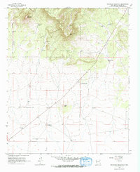
1965 · Sugarloaf Mountain
USGS Topo · 1:24,000
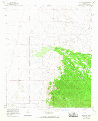
1965 · Kellog Well
USGS Topo · 1:24,000