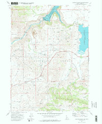
1973 Map of Anderson Ranch Dam
USGS Topo · Published 1977About this map
The South Fork Boise River canyon anchors this survey of Elmore County, dominated by the massive infrastructure of the Anderson Ranch Dam. Near the dam, Reclamation Village stands as a remnant of the mid-century construction era, while the surrounding landscape reveals a history of resource extraction at the Daisy Con Mines and several Prospect sites in the Danskin Mountains.
Find a feature on this map
47 named features on this map. Tap any name to fly to it.
Don’t see what you’re looking for? This feature index may not catch every label — zoom into the map to look around manually.
Map Details
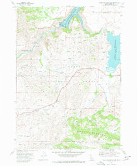
Editions of this 1973 Anderson Ranch Dam Map
2 editions found
Other maps of this area

1892 · Mountain Home
USGS Topo · 1:125,000

1892 · Camas Prairie
USGS Topo · 1:125,000

1893 · Mountain Home
USGS Topo · 1:125,000

1893 · Camas Prairie
USGS Topo · 1:125,000

1955 · Hailey
USGS Topo · 1:250,000

1956 · Mountain Home
USGS Topo · 1:62,500
1958 · Bennett Mtn
USGS Topo · 1:62,500

1959 · Hailey
USGS Topo · 1:250,000

1960 · Danskin Peak
USGS Topo · 1:62,500

1962 · Hailey
USGS Topo · 1:250,000