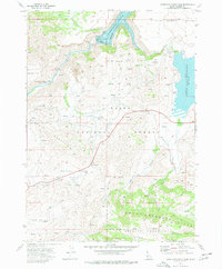
1973 Map of Anderson Ranch Dam
USGS Topo · Published 1977About this map
The Anderson Ranch Dam and its expansive reservoir anchor this corner of the Boise National Forest in the early 1970s. The landscape is defined by the steep transition from the Danskin Mountains down to the Boise River South Fork, where the U.S. Bureau of Reclamation infrastructure remains a primary feature. Evidence of human activity is scattered throughout the high country, from the cluster of buildings at Reclamation Village to the former location of Dixie, once a small mountain settlement. Resource extraction and management are visible in the Daisy Con Mines and several borrow pits, while an aqueduct and a landing strip suggest the technical requirements of maintaining this remote water system. In the southern reaches, the Mount Bennett Hills rise above Bennett Creek, navigated only by a network of jeep trails and pack trails used by forest travelers and ranching operations.
Find a feature on this map
31 named features on this map. Tap any name to fly to it.
Don’t see what you’re looking for? This feature index may not catch every label — zoom into the map to look around manually.
Map Details
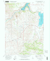
Editions of this 1973 Anderson Ranch Dam Map
2 editions found
Other maps of this area

1892 · Mountain Home
USGS Topo · 1:125,000

1892 · Camas Prairie
USGS Topo · 1:125,000

1893 · Mountain Home
USGS Topo · 1:125,000

1893 · Camas Prairie
USGS Topo · 1:125,000

1955 · Hailey
USGS Topo · 1:250,000

1956 · Mountain Home
USGS Topo · 1:62,500
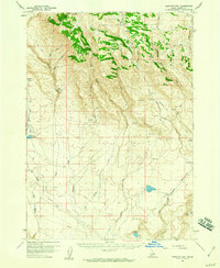
1958 · Bennett Mtn
USGS Topo · 1:62,500

1959 · Hailey
USGS Topo · 1:250,000

1960 · Danskin Peak
USGS Topo · 1:62,500

1962 · Hailey
USGS Topo · 1:250,000