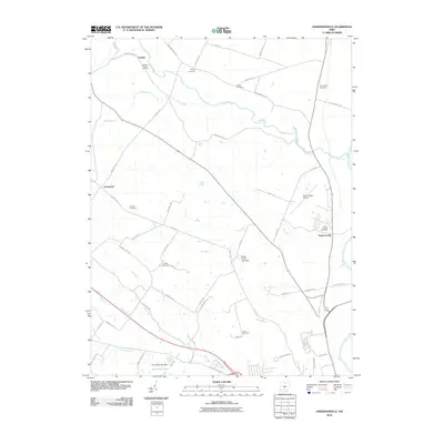
2010 Map of Andersonville
USGS Topo · Published 2010About this map
Andersonville and the small crossroads of Carey and Greenland anchor this Ross County landscape, where agriculture and early-20th-century road networks intersect with a dense concentration of family and community burial grounds. Genealogists will find significant value in the numerous plotted sites, including Springbank Cemetery, Browns Chapel Cemetery, and Noble Cemetery, which reflect the area's deep-rooted settlement history.
Find a feature on this map
54 named features on this map. Tap any name to fly to it.
Don’t see what you’re looking for? This feature index may not catch every label — zoom into the map to look around manually.
Map Details
Editions of this 2010 Andersonville Map
This is the sole edition of this map. No revisions or reprints were ever made.
Other maps of this area

1906 · Chillicothe
USGS Topo · 1:62,500

1908 · Chillicothe
USGS Topo · 1:62,500

1911 · Era
USGS Topo · 1:62,500

1912 · Roxabell
USGS Topo · 1:62,500

1913 · Era
USGS Topo · 1:62,500

1914 · Roxabell
USGS Topo · 1:62,500

1914 · Circleville
USGS Topo · 1:62,500

1943 · Era
USGS Topo · 1:62,500

1943 · Circleville
USGS Topo · 1:62,500

1944 · Roxabell
USGS Topo · 1:62,500