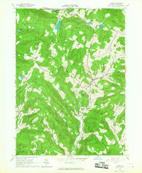
1965 Map of Andes
USGS Topo · Published 1967About this map
The Andes settlement serves as the focal point of this Delaware County landscape, situated at the junction of several winding mountain roads. The terrain is defined by a dense network of steep hollows, including Gladstone Hollow and Wolf Hollow, which directed the paths of early transportation and agriculture. Along the Little Delaware River and its tributaries, the map reveals the remnants of the regional transport network, most notably the Old Tremper Railroad Grade following the valley floor near the village center.
Find a feature on this map
43 named features on this map. Tap any name to fly to it.
Don’t see what you’re looking for? This feature index may not catch every label — zoom into the map to look around manually.
Map Details
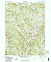
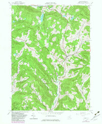
Editions of this 1965 Andes Map
3 editions found
Other maps of this area

1901 · Margaretville
USGS Topo · 1:62,500

1904 · Hobart
USGS Topo · 1:62,500

1904 · Margaretville
USGS Topo · 1:62,500

1909 · Delhi
USGS Topo · 1:62,500

1911 · Delhi
USGS Topo · 1:62,500

1922 · Andes
USGS Topo · 1:62,500

1924 · Andes
USGS Topo · 1:62,500

1943 · Delhi
USGS Topo · 1:24,000

1943 · Bloomville
USGS Topo · 1:24,000
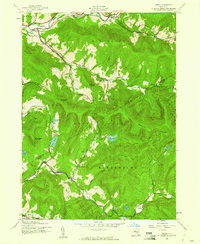
1945 · Arena
USGS Topo · 1:24,000