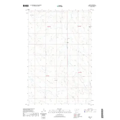
2020 Map of Andes
USGS Topo · Published 2020About this map
The small settlement of Andes serves as the focal point of this eastern Montana landscape, situated along the upper reaches of Hardscrabble Cr. The surrounding terrain in Richland County is defined by a network of drainage features, including Garden Coulee, Goodman Coulee, and Hay Coulee, which illustrate the erosion patterns characteristic of the region. Local history and genealogy are anchored by the Andes Cem, located just north of the townsite. The map details a rural infrastructure of county roads, such as Co RD 332 and Co RD 141, that connect isolated homesteads across the townships of t26n r55e and t25n r56e. Waterways like Timber Cr and E Charlie Cr further delineate the prairie, providing a record of the natural landmarks used by generations of ranchers in this part of the state.
Find a feature on this map
20 named features on this map. Tap any name to fly to it.
Don’t see what you’re looking for? This feature index may not catch every label — zoom into the map to look around manually.
Map Details
Editions of this 2020 Andes Map
This is the sole edition of this map. No revisions or reprints were ever made.
Other maps of this area

1909 · Glendive
USGS Topo · 1:250,000

1954 · Glendive
USGS Topo · 1:250,000

1954 · Wolf Point
USGS Topo · 1:250,000

1957 · Glendive
USGS Topo · 1:250,000

1958 · Wolf Point
USGS Topo · 1:250,000

1958 · Glendive
USGS Topo · 1:250,000
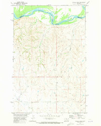
1969 · Twomile Creek
USGS Topo · 1:24,000

1969 · Three Buttes
USGS Topo · 1:24,000

1969 · Dugout Creek
USGS Topo · 1:24,000

1972 · Girard
USGS Topo · 1:24,000