Loading...
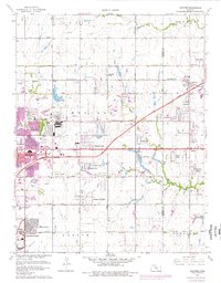
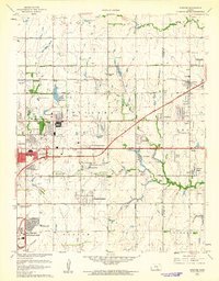
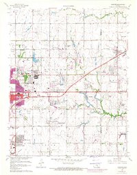
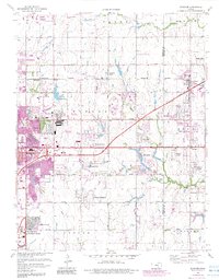
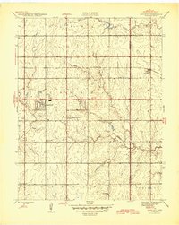
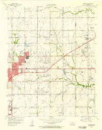
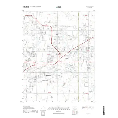
Loading map...1961 Map of Andover
USGS Topo · Published 1976About this map
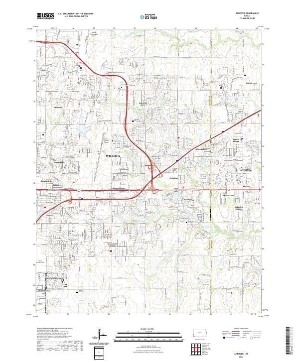
The aviation corridor east of Wichita dominates this mid-century landscape, characterized by the massive footprint of Mc Connell Air Force Base and the Beech Landing Field. This era of rapid suburban expansion is visible through numerous named residential developments like Greenwich Heights, Lakeside Acres, and Windsor Park that began to fill the spaces between established rural townships. The Kansas Turnpike Toll Road cuts a modern diagonal across the terrain, intersecting major thoroughfares such as Kellogg Ave and Central Avenue.
Find a feature on this map
66 named features on this map. Tap any name to fly to it.
Don’t see what you’re looking for? This feature index may not catch every label — zoom into the map to look around manually.
Map Details
Date Portrayed1961
Date Published1976
PublisherU.S. Geological Survey
Map TypeTopographic
Scale1:24,000
Physical Dimensions21.19 x 27.13 inches
Editions of this 1961 Andover Map
4 editions found
Historical Maps of Wichita Through Time
8 maps found

Featured Locations
Source Details
SourceU.S. Geological Survey
CopyrightPublic Domain