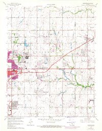
1961 Map of Andover
USGS Topo · Published 1971About this map
The aviation corridor between Wichita and Andover defines this survey, as the region’s landscape is shaped by airfields and Cold War infrastructure. Massive facilities like Mc Connell Air Force Base and the Beech Landing Field dominate the southern and central sections, while smaller strips such as Piper Airport, Cessna Landing Field, and Rawdon Landing Field are scattered throughout the agricultural and residential boundaries.
Find a feature on this map
62 named features on this map. Tap any name to fly to it.
Don’t see what you’re looking for? This feature index may not catch every label — zoom into the map to look around manually.
Map Details
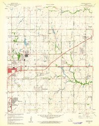
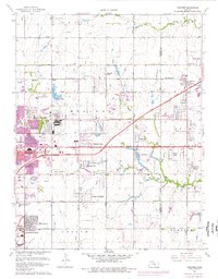
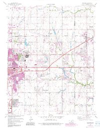
Editions of this 1961 Andover Map
4 editions found
Other maps of this area

1889 · Wichita
USGS Topo · 1:125,000

1894 · Wichita
USGS Topo · 1:125,000

1941 · Valley Center
USGS Topo · 1:31,680

1942 · Valley Center
USGS Topo · 1:31,680

1943 · Wichita East
USGS Topo · 1:31,680

1943 · Derby
USGS Topo · 1:31,680

1945 · Andover
USGS Topo · 1:31,680

1955 · Santa Fe Lake
USGS Topo · 1:24,000

1955 · Benton
USGS Topo · 1:24,000

1955 · Greenwich
USGS Topo · 1:24,000